Browse Resources
Audio/Visual -- Movie/Animation
Resources |
|---|
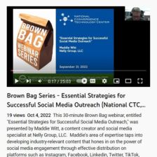
This webinar from the National Convergence Technology Center (CTC) explores strategies for social media outreach. In the video, Maddie Witt, a content creator and social media specialist at Nelly Group, LLC, "taps into developing industry-relevant content that hones in on the power of social media...
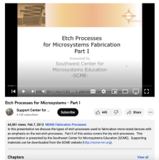
This video, created by Support Center for Microsystems Education (SCME), provides an introduction to etch processes used in microsystems. The lecture runs for 15:26 minutes and covers "types of etch processes used to fabrication micro-sized devices with an emphasis on the wet etch processes." More...
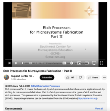
This video, created by Support Center for Microsystems Education (SCME), provides an introduction to etch processes used in microsystems. The lecture runs for 14:55 minutes and covers "the basics of dry etch processes and describes several applications of dry etching for microsystems fabrication. "...
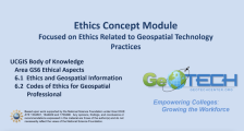
This module is provided by GeoTech Center, and discusses concepts related to ethics in geographic information systems. Module contents include a video recording, the PowerPoint presentation featured in the video, and a module overview document.
The Ethics Concept Module is a recorded PowerPoint...
This lecture from the iBioSeminars project is presented by Eva Nogales Molecular Cell Biology Professor at the University of California, Berkeley, and it covers Visualizing Biological Structure Using Electron Microscopy: From Molecules to Cells. Transmission electron microscopy (TEM) offers the...
This video, published by EvaluATE: Evaluation Resource Center for Advanced Technological Education, is a brief crash course on evaluation for National Science Foundation (NSF) Advanced Technological Education (ATE) grantees who are new to evaluation. The video provides an introduction to evaluation,...
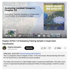
This video, provided by Virginia Geospatial Extension, is part of a series of 28 tutorial videos on remote sensing with ArcGIS Pro. This tutorial is the second of three that cover supervised classification. This tutorial provides an introduction to supervised classification and spectral profiles of...
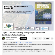
This video, provided by Virginia Geospatial Extension, is part of a series of 28 tutorial videos on remote sensing with ArcGIS Pro. This tutorial "... demonstrates how to evaluate normality of training samples with Histograms in ArcGIS Pro version 2.3.3." This video runs 05:29 minutes in length. The...
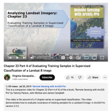
This video, provided by Virginia Geospatial Extension, is part of a series of 28 tutorial videos on remote sensing with ArcGIS Pro. This tutorial "... demonstrates how to evaluate covariance of training samples for a Landsat 8 image in ArcGIS Pro version 2.3.3." This video runs 04:07 minutes in...
This video from EvaluATE is the second in a six-part video series that "provides a basic orientation to evaluation for individuals who are planning to submit proposals to the National Science Foundation’s [NSF] Advanced Technological Education program [ATE]. Each video in the series answers a common...
|
| ← PreviousNext → |
