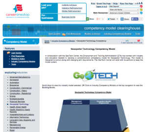
Geospatial Technology Competency Model

The Geospatial Technology Competency Model (GTCM) is depicted as a pyramid with nine tiers. This depiction illustrates how occupational and industry competencies build on a foundation of personal effectiveness, academic, and workplace competencies. Each tier consists of one or more blocks representing the skills, knowledge, and abilities essential for successful performance in the industry or occupation represented by the model. At the base of the model, competencies apply to a large number of occupations and industries. As a user moves up the model, the competencies become industry- and occupation-specific. This document specifies competencies required for worker success in the geospatial industry, from the most general Personal Effectiveness Competencies (Tier 1) to the sector-specific competencies presented in Tier 5. Additional occupation-specific competencies and requirements (Tiers 6-8), as well as management competencies (Tier 9) are beyond the scope of this document. Expected uses of the GTCM include career guidance, curriculum development and assessment, recruitment and hiring, continuing professional development, criteria for voluntary certification, and outreach efforts intended to communicate characteristics of the geospatial field to the public. GTCM users should bear in mind that the pyramid framework is not intended to suggest a sequence of competency attainment or that certain competencies are of greater value or higher skill than others. The body of the GTCM is a table that contains definitions and associated key behaviors for each competency block depicted in the pyramid.

Comments