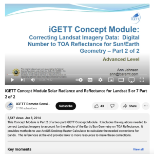
Correcting Landsat Imagery Data: Digital Number to TOA Reflectance for Sun/Earth Geometry, Part 2 of 2

This video, from the Integrated Geospatial Education and Technology Training Project (iGETT), is the second part of a two-part presentation on correcting Landsat imagery data for solar reflectance. The lecture reviews and builds on concepts introduced in the first video, before moving on to the process of converting digital numbers to top of atmosphere (TOA) and the equations used in this process. A step by step exercise for this process is included in this ten minute video, which is intended for a basic level audience.
About this Resource
Creator
Date Issued
January 8th, 2014
Audience
Education Level
Language
Subject
GEM Subject
Relation
Series
Is Related To
Associated Files
Archived
Rights
Access Rights
STEMLink
Available in STEMLink

Comments