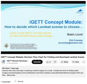
How to Decide which Landsat Scenes to Choose

This video, created by Integrated Geospatial Education and Technology Training Project (iGETT), provides a decision flow chart and steps for selecting Landsat imagery for a study. The video includes "hints for finding useful imagery and downloading it from EarthExplorer and GloVis websites using Worldwide Reference System Path and Row." This video runs 12:37 minutes in length.
About this Resource
Date Issued
March 15th, 2015
Resource Type
Audience
Education Level
Language
Subject
GEM Subject
Subject
Relation
Series
Associated Files
Archived
Rights
Access Rights
STEMLink
Available in STEMLink

Comments