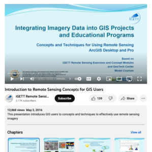
Integrating Imagery Data into GIS Projects and Educational Programs

This video, created by Integrated Geospatial Education and Technology Training Project (iGETT), provides an introduction to remote sensing for Geographic Information Systems (GIS) users. This video discusses the following topics: how can remote sensing imagery be used, two types of "sensors" for remote sensing, the electromagnetic spectrum, what does raw band "data" look like, band 4 brightness and its digital number Landsat 8, remote sensing imagery "resolutions", spatial resolution somparison - scale, determining land use types - image classification, and more. This video runs 20:32 minutes in length.
About this Resource
Date Issued
May 3rd, 2016
Resource Type
Audience
Education Level
Language
Subject
GEM Subject
Subject
Relation
Associated Files
Archived
Rights
Access Rights
STEMLink
Available in STEMLink

Comments