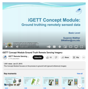
Ground Truthing Remotely Sensed Data

This video, created by Integrated Geospatial Education and Technology Training Project (iGETT), discusses ground truth remote sensing imagery. The video covers the following topics: using remotely sensed imagery, classification and analysis, ground truthing, ground observations supporting remotely sensed data, and the importance of ground truthing. Five comprehension questions and answers are also included. The video runs 4:25 minutes in length.
About this Resource
Date Issued
June 27th, 2015
Resource Type
Audience
Education Level
Language
Subject
GEM Subject
Subject
Relation
Series
Associated Files
Archived
Rights
Access Rights
STEMLink
Available in STEMLink

Comments