Geospatial Technology for Educators
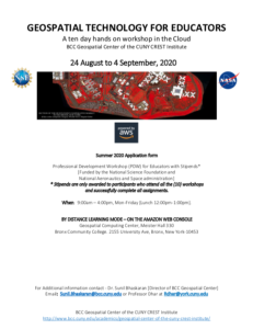
This 6-page document, from the BCC Geospatial Center of the CUNY CREST Institute, includes the application form for the summer 2020 Geospatial Technology For Educators workshop. This event was a 10 day hands-on professional development workshop in the Cloud. In addition to the application, this document also includes a questionnaire, a participant agreement letter, and workshop learning objectives and outcomes. The following are the learning objectives and outcomes included:
- provide hands-on exposure in geospatial analysis with a focus on remote sensing,
- training in downloading and installing free open source geospatial software,
- training in using open source geospatial software for performing basic spatial operations.
- discussion, brainstorming, and training in designing a project at the educator's respective institution,
- provide an experience working with geospatial data and analysis in the cloud [Amazon Web Services], and
- networking opportunities and collaborations.
About this Resource
Publisher
Resource Type
Format
Audience
Education Level
Language

Subject
GEM Subject
Relation
ATE Contributor
Associated Files
Archived
Rights
Access Rights
STEMLink
Available in STEMLink
Comments