Where in the World?
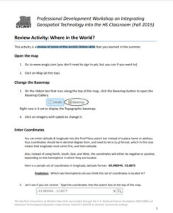
This 2-page activity from the GeoTech Consortium of Western New York provides students with a review of basic ArcGIS Online skills. Covered is changing the basemap, entering coordinates, and measuring length. The activity features instructions and spaces for students to answer questions. Users will need ArcGIS to complete the activity.
About this Resource
Date Issued
2015
Resource Type
Format
Audience
Education Level
Language

Subject
GEM Subject
Relation
Associated Files
Archived
Rights
Access Rights
STEMLink
Available in STEMLink
Comments