Browse Resources
Resources |
|---|
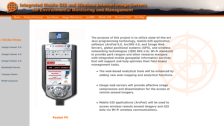 This resource provides insight into cutting edge technology in the field of geographic information systems. The stated purpose of this research is "to provide park rangers and other resource mangers with integrated mobile geospatial information services that will support and help optimize their...
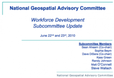 This presentation from the GeoTech Center features a report from the National Geospatial Advisory Committee subcommittee on workforce development. The group looks at the question: "Do we have a sufficient geospatial workforce to meet national needs and spur innovation?" The report includes details...
 This project, created by Roy Pratima, has students look at the practice of utilizing geological principles and apply geological concepts to the discovery of rocks to understand the different forms of energy found within different rocks and soils. Individually, students will use the Internet to...
 The Science Education Resource Center (SERC), an office of Carleton College, works to improve earth science education through projects that support educators. The office has special expertise in effective pedagogies, geoscience education, community organization, workshop leadership, digital...
 This resource, provided by Northwestern Connecticut Community College, is a 1-page worksheet for an activity where students use the OCEARCH shark tracker to learn about GPS technology. In the activity, students choose one shark to track and gather information related to the shark and its movements....
 Learning Unit Description:
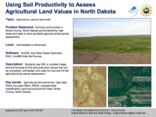
The Integrated Geospatial Education and Technology Training Project (iGETT) presents a series of Learning Units (LU) designed to incorporate federal land remote sensing data into Geographic Information System (GIS) instruction. The Using Soil Productivity to Assess...
|
| ← Previous |