Browse Resources
Resources |
|---|
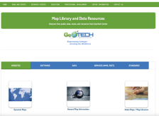 This page from GeoTech includes links to data sources and online maps that would be useful in geospatial courses. Links are included for websites, software, data, services, and standards.
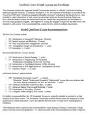 This five page document discuses model courses for a model certificate developed by GeoTech. Five core courses are recommended including Introduction to Geospatial Technology, Spatial Analysis and Modeling, and Data Acquisition and Management. A number of elective courses are also listed including...
 This thirty-seven page document discuses model courses for a model certificate developed by GeoTech. Slides from a past presentation are included along with annotations. Five core courses are recommended including Introduction to Geospatial Technology, Spatial Analysis and Modeling, and Data...
 The GeoTech Center curated this list of geospatial technology resources for the benefit of both students and instructors in this subject area. The resources include: "How To Incorporate American Community Survey data from TIGER Files," "Going Places With GPS," "GPS Units by GIS Etc.," and "GPS...
 The GeoTech Center curated this list of textbook resources for the benefit of both students and instructors in this subject area. Included in this list is a variety of textbooks related to geospatial subjects, including: introductory materials, ArcGIS, GIS, GPS, and the python programming language.
 This page from the GeoTech Center provides links to several websites with information on geospatial careers. These include the Geospatial Job and Career Center at Directions Magazine, the career section of ESRI's website for those interested in working for this GIS software company, the GIS Lounge's...
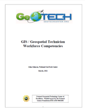 This document from John Johnson of the National GeoTech Center outlines competency requirements for geospatial technicians. The report is divided into two main sections: workforce technical competencies and workforce knowledge, skill and behavior competencies. The document includes a number of...
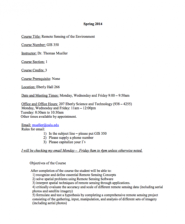 This 5-page syllabus provides an overview of the Remote Sensing of the Environment course taught at the California University of Pennsylvania. "This course covers the composition and interpretation of aerial photographs and remote sensing images." The syllabus includes course objectives, a course...
 This 12-page syllabus provides an overview of the Introduction to GIS with Lab course taught at the University of West Florida. "This Introduction to GIS course strives to provide a balance between the "how-to" of using ArcGIS 10.x and the "why" of GIS by explaining the roles GIS technology plays in...
 This 14-page syllabus provides an overview of the Applications in Geographic Information Science course taught at the University of West Florida. This course covers how to use ArcGIS and explains the roles GIS technology plays in analyzing local, regional, and global problems. This course builds on...
|
| ← PreviousNext → |