Browse Resources
Resources |
|---|
 This 5-page syllabus provides an overview of the Environment Applications in GIS course taught at the California University of Pennsylvania. "This course is tailored to introduce Environmental Issues to students within a spatial framework, using Geographic Information Science." The syllabus includes...
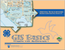 This introductory manual, GIS Basics: Working with ArcExplorer 9, was created by the Penn State University Cooperative Extension Geospatial Technology Program and is meant to supplement the education of 4-H students interested in GIS technologies. This manual covers the fundamentals of GIS,...
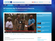 The ATETV project delivers web-based videos to connect students to careers in advanced technology. This episode of ATETV focuses on GIS careers. Viewers will learn about the work of GIS technicians and the applications of the data they collect. Running time for the episode is 4:55.
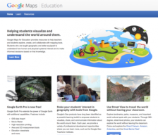 This site is a free public resource which provides teachers with the tools needed to enhance their instruction using Google Earth, the free program that brings the world to the classroom. Lesson plans include basic how-to guides, student and teacher controlled exercises and more.
 This 4-page resource, published by the Advanced Technology Environmental and Energy Center (ATEEC), provides an introduction to global position systems (GPS) and geographic information systems (GIS) and their usage in fieldwork. Included are two in-class activities: one pertaining to Geo-caching,...
 This video, created by Integrated Geospatial Education and Technology Training Project (iGETT), discusses ground truth remote sensing imagery. The video covers the following topics: using remotely sensed imagery, classification and analysis, ground truthing, ground observations supporting remotely...
 This video, created by Integrated Geospatial Education and Technology Training Project (iGETT), provides a decision flow chart and steps for selecting Landsat imagery for a study. The video includes "hints for finding useful imagery and downloading it from EarthExplorer and GloVis websites using...
 Learning Unit Description:
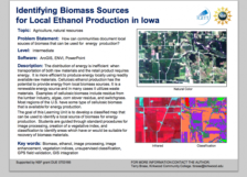
The Integrated Geospatial Education and Technology Training Project (iGETT) presents a series of Learning Units (LU) designed to incorporate federal land remote sensing data into Geographic Information System (GIS) instruction. The Identifying Biomass Sources for...
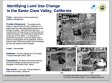 Learning Unit Description:
The Integrated Geospatial Education and Technology Training Project (iGETT) presents a series of Learning Units (LU) designed to incorporate federal land remote sensing data into Geographic Information System (GIS) instruction. The Land Use Change Detection in the Santa...
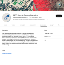 This iGETT Remote Sensing Education YouTube channel includes videos for teaching and learning remote sensing concepts. These videos were created by participant educators in the iGETT project. Videos include the following: Remote Sensing Made Easy, Introduction to Remote Sensing Concepts for GIS,...
|
| ← PreviousNext → |