Browse Resources
Resources |
|---|
 This page from the GeoTech Center provides a document on workforce competencies for GIS & remote sensing occupations. The material discusses central job tasks, required knowledge, skills and behaviors and required competencies for careers in this field. The document is available for download in PDF...
 Learning Unit Description:
The Integrated Geospatial Education and Technology Training Project (iGETT) presents a series of Learning Units (LU) designed to incorporate federal land remote sensing data into Geographic Information System (GIS) instruction. The Investigating Tsunami Damage in...
 In this 43-page report, Jefferson Community and Technical College aimed to analyze student enrollment and residential data from 2009 along with data from the 2000 Census. According to the report, "the initial task was to graphically represent the residential location for each student who was...
 This resource is a Google group page for the organization KanGIS. The group's stated purpose is to "support community for educators interested in using geotechnologies, including GIS, GPS and geocaching, digital globes, orienteering, and remotely sensed data in any educational setting - especially...
 On this page from the SAGE 2YC project, Carol Ormand has compiled a number of useful resources on preparing students for their careers by bolstering their knowledge, skills and abilities. The page includes employer and employee perspectives, AGI career webinars, profiles of geoscientists and...
 Learning Unit Description:
The Integrated Geospatial Education and Technology Training Project (iGETT) presents a series of Learning Units (LU) designed to incorporate federal land remote sensing data into Geographic Information Systems (GIS) instruction. The Classifying and Evaluating Land Cover...
 Learning Unit Description:
The Integrated Geospatial Education and Technology Training Project (iGETT) presents a series of Learning Units (LU) designed to incorporate federal land remote sensing data into Geographic Information System (GIS) instruction. The Land Surface Heat Emissivity in...
 This video, provided by Virginia Geospatial Extension, is part of a series of 22 tutorial videos on working with Lidar using ArcGIS Pro. This tutorial introduces settings that control display of lidar points and demonstrates displaying Lidar Datasets by classification code and return. This video...
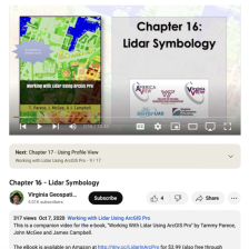 This video, provided by Virginia Geospatial Extension, is part of a series of 22 tutorial videos on working with Lidar using ArcGIS Pro. This tutorial discusses overlay issues with basemaps and lidar data; illustrates symbology of lidar data by elevation and return number; and demonstrates tools to...
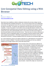 This two page document from GeoTech describes how to use a web browser for geospatial data editing. The ArcGIS Server software from Esri provides this technology. For live map editing, a relational database, such as the free SQL Express, must be used as the "storage container." A diagram illustrates...
|
| ← PreviousNext → |