Browse Resources
Resources |
|---|
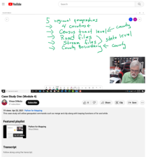
This video case study assignment, provided by the GeoTech Center, is from module four of the Python and Geospatial Mapping course, titled Loops and Decision Tools. The course is designed for experienced users of Global Information Systems (GIS) platforms who are new to programming, with the goal of...
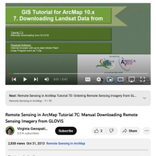
This tutorial, provided by Virginia Geospatial Extension, is part of a series of 30 videos that cover remotely sensed data in ArcMap 10.x versions. Tutorial seven is divided into four videos: A, B, C, and D. This video covers manually downloading data from GLOVIS. This video runs 00:47 seconds in...
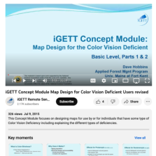
This video, created by Integrated Geospatial Education and Technology Training Project (iGETT), discusses designing maps for individuals who have some type of color vision deficiency. The video covers the following topics: what is color blindness, causes, classification, what does it matter, effects...
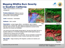
Learning Unit Description:
The Integrated Geospatial Education and Technology Training Project (iGETT) presents a series of Learning Units (LU) designed to incorporate federal land remote sensing data into Geographic Information System (GIS) instruction. The Post-Fire Burn Assessment LU, by...
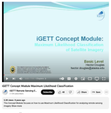
This video, from the Integrated Geospatial Education and Technology Training Project (iGETT), introduces Maximum Likelihood Classification (MLC) and its use in GIS data. The presentation covers multiband imagery, Landsat 7 spectral bands, land class signatures and training samples, and a priori...
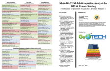
This 81-page resource is provided by GeoTech and includes a Meta-DACUM research chart and lists of DACUM job tasks and skills for GIS and Remote Sensing specialists. "Developing a Curriculum (DACUM) is a process that incorporates the use of a focus group in a facilitated storyboarding process to...
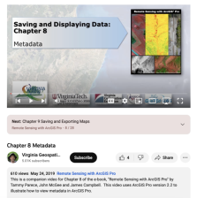
This video, provided by Virginia Geospatial Extension, is part of a series of 28 tutorial videos on remote sensing with ArcGIS Pro. This tutorial defines metadata and "illustrates various locations in ArcGIS Pro where metadata can be found." This video runs 07:56 minutes in length. The other videos...
This resource, provided by the GeoTech Center, is the eighth of nine online modules in the Python and Geospatial Mapping course. The course is designed for experienced users of Global Information Systems (GIS) platforms who are new to programming, with the goal of teaching them how to use Python to...
This video, provided by the GeoTech Center, is from the eighth module of the Python and Geospatial Mapping course, titled More Python. The course is designed for experienced users of Global Information Systems (GIS) platforms who are new to programming, with the goal of teaching them how to use...
This video assignment, provided by the GeoTech Center, is the first assignment from module eight of the Python and Geospatial Mapping course, titled More Python. The course is designed for experienced users of Global Information Systems (GIS) platforms who are new to programming, with the goal of...
|
| ← PreviousNext → |
