Browse Resources
Resources |
|---|
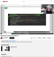
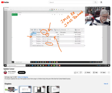
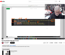 This video lesson, provided by the GeoTech Center, is from the eighth module of the Python and Geospatial Mapping course, titled More Python. The course is designed for experienced users of Global Information Systems (GIS) platforms who are new to programming, with the goal of teaching them how to...
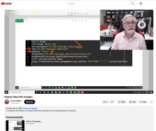 This video lesson, provided by the GeoTech Center, is from the eighth module of the Python and Geospatial Mapping course, titled More Python. The course is designed for experienced users of Global Information Systems (GIS) platforms who are new to programming, with the goal of teaching them how to...
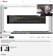 This video lesson, provided by the GeoTech Center, is from the eighth module of the Python and Geospatial Mapping course, titled More Python. The course is designed for experienced users of Global Information Systems (GIS) platforms who are new to programming, with the goal of teaching them how to...
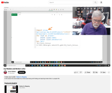 This video lesson, provided by the GeoTech Center, is from the eighth module of the Python and Geospatial Mapping course, titled More Python. The course is designed for experienced users of Global Information Systems (GIS) platforms who are new to programming, with the goal of teaching them how to...
 This video lesson, provided by the GeoTech Center, is from the eighth module of the Python and Geospatial Mapping course, titled More Python. The course is designed for experienced users of Global Information Systems (GIS) platforms who are new to programming, with the goal of teaching them how to...
 This video lesson, provided by the GeoTech Center, is from the eighth module of the Python and Geospatial Mapping course, titled More Python. The course is designed for experienced users of Global Information Systems (GIS) platforms who are new to programming, with the goal of teaching them how to...
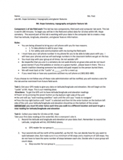 This 2-page resource, provided by the GeoTech Consortium of Western New York, is part one of a 2-part lab activity that has students map the latitude, longitude, elevation, and glacier feature information of Mt. Hope Cemetery. In part one, students personally visit Mt. Hope Cemetery to collect data...
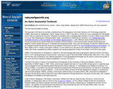 This page contains information about Nature of Geographic Information, by David DiBiase. The textbook includes sections on data and information, scales and transformations, census data and thematic maps, TIGER, topology and geocoding, land surveying and GPS, national spatial data, remote sensing and...
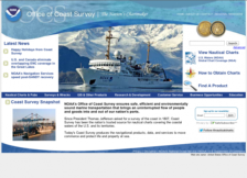 In 1807, President Thomas Jefferson established the Survey of the Coast in order to support safe transportation through the United States' waters. Today, the Office of Coast Survey is part of the National Oceanic and Atmospheric Administration's (NOAA) National Ocean Service. Their mission is to...
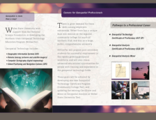 This promotional material includes two brochures for Weber State University's Geospatial Technology Education Program (NUGeoTec). The bifold brochure introduces students to the geospatial field and careers. The certificate and minor programs offered through NUGeoTec are listed along with contact...
|
| ← PreviousNext → |