Browse Resources
Resources |
|---|
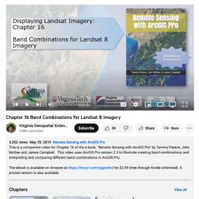 This video, provided by Virginia Geospatial Extension, is part of a series of 28 tutorial videos on remote sensing with ArcGIS Pro. This tutorial "illustrate[s] creating band combinations and interpreting and comparing different band combinations..." Presets and symbology are both demonstrated. This...
 The Branch of Geospatial Support provides GIS training to Bureau of Indian Affairs offices and employees of Federally Recognized Tribal Entities for "management of natural resources on Indian lands, such as irrigation flood plain analysis, forest harvesting, wildland fire analysis, oil and gas...
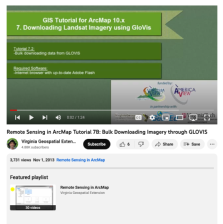 This tutorial, provided by Virginia Geospatial Extension, is part of a series of 30 videos that cover remotely sensed data in ArcMap 10.x versions. Tutorial seven is divided into four videos: A, B, C, and D. This video covers bulk downloading data from GLOVIS. This video runs 01:24 minutes in...
 Description:
This Cartographic Design course, from the National Information, Security & Geospatial Technologies Consortium, is part of a series of model courses on GIS, spatial technologies, and related subjects to provide students with the professional skills necessary to succeed in geospatial...
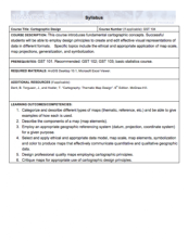
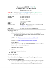 These resources include a 5-page syllabus and a 2-page course table map for the Cartography and Map Design course taught at Weber State University. "This course is designed to introduce the field, topics, processes, terms, tools, and techniques of cartography to a motivated student who has completed...
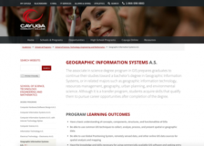 This site gives an overview of the Geographic Information Systems degree program from Cayuga Community College. "By learning specialized computer software that takes images drawn from satellites, GPS waypoints, aerial photography, and any other source of data," students "will make interactive maps...
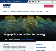 Central New Mexico Community College offers programs in geospatial education, including coursework in geographic information systems, global positioning systems and remote sensing.
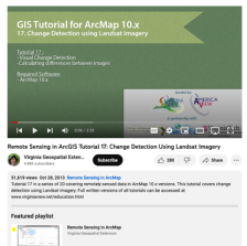 This tutorial, provided by Virginia Geospatial Extension, is part of a series of 30 videos that cover remotely sensed data in ArcMap 10.x versions. This "tutorial covers change detection using Landsat Imagery." Visual change detection and calculating differences between images are demonstrated in...
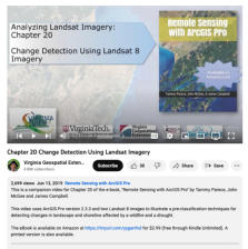 This video, provided by Virginia Geospatial Extension, is part of a series of 28 tutorial videos on remote sensing with ArcGIS Pro. This tutorial "... uses ArcGIS Pro version 2.3.3 and two Landsat 8 images to illustrate pre-classification techniques for detecting changes in landscape and shoreline...
 This 6-page syllabus provides an overview of the Introduction to GIS course taught at Jefferson Community and Technical College. This course covers basic theories and concepts of of GIS and introduces GIS software. The syllabus includes a course description, student learning outcomes, course...
|
| ← PreviousNext → |