Browse Resources
Resources |
|---|
 Collection Description:
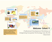
This collection from the GeoTech Consortium of Western New York (GTCWNY) features material related to the Professional Development Workshop on Integrating Geospatial Technology into the High School Classroom hosted by GTCWNY. There were two cohorts of the workshop and a...
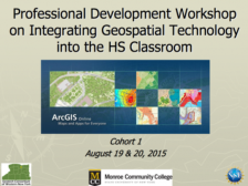 These presentation slides, provided by the GeoTech Consortium of Western New York (GTCWNY), are from the Professional Development Workshop on Integrating Geospatial Technology into the HS Classroom hosted by GTCWNY. The workshop focused on Geographic Information Systems (GIS) education and ways to...
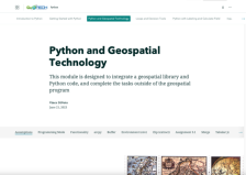 This resource, provided by the GeoTech Center, is the third of nine online modules in the Python and Geospatial Mapping course. The course is designed for experienced users of Global Information Systems (GIS) platforms who are new to programming, with the goal of teaching them how to use Python to...
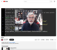
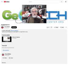 This video, provided by the GeoTech Center, is the companion video to the second assignment from module three of the Python and Geospatial Mapping course, titled Python and Geospatial Technology. The course is designed for experienced users of Global Information Systems (GIS) platforms who are new...
 This video assignment, provided by the GeoTech Center, is the first assignment from module three of the Python and Geospatial Mapping course, titled Python and Geospatial Technology. The course is designed for experienced users of Global Information Systems (GIS) platforms who are new to...
 This video assignment, provided by the GeoTech Center, is the third assignment from module three of the Python and Geospatial Mapping course, titled Python and Geospatial Technology. The course is designed for experienced users of Global Information Systems (GIS) platforms who are new to...
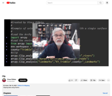
 This video, provided by the GeoTech Center, is from the third module of the Python and Geospatial Mapping course, titled Python and Geospatial Technology. The course is designed for experienced users of Global Information Systems (GIS) platforms who are new to programming, with the goal of teaching...
 This video, provided by the GeoTech center, is from the third module of the Python and Geospatial Mapping course, titled Python and Geospatial Technology. The course is designed for experienced users of Global Information Systems (GIS) platforms who are new to programming, with the goal of teaching...
 This video, provided by the GeoTech center, is from the third module of the Python and Geospatial Mapping course, titled Python and Geospatial Technology. The course is designed for experienced users of Global Information Systems (GIS) platforms that are new to programming, with the goal of teaching...
 This video lesson, provided by the GeoTech Center, is from the third module of the Python and Geospatial Mapping course, titled Python and Geospatial Technology. The course is designed for experienced users of Global Information Systems (GIS) platforms who are new to programming, with the goal of...
|
| ← PreviousNext → |