Browse Resources
Resources |
|---|
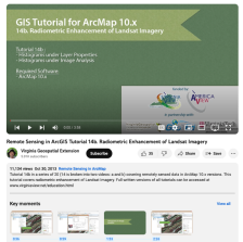 This tutorial, provided by Virginia Geospatial Extension, is part of a series of 30 videos that cover remotely sensed data in ArcMap 10.x versions. This tutorial is broken into two videos (14A and 14B) and covers "radiometric enhancement of Landsat Imagery." Part B picks up where 14A left off and...
 Learning Unit Description:
The Integrated Geospatial Education and Technology Training Project (iGETT) presents a series of Learning Units (LU) designed to incorporate federal land remote sensing data into Geographic Information System (GIS) instruction. The Land Cover Classification and Urban...
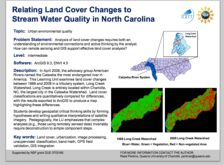
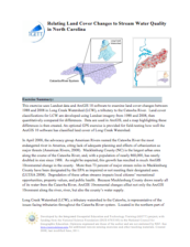 This exercise, created by the Integrated Geospatial Education and Technology Training Project (iGETT), uses Landsat data and ArcGIS 10 software to examine land cover changes between 1988 and 2008 in Long Creek Watershed (LCW), a tributary to the Catawba River (which originates in Western North...
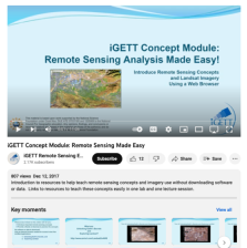 This video, created by Integrated Geospatial Education and Technology Training Project (iGETT), discusses resources to help teach remote sensing concepts. The resources covered can be used without downloading software or data. Links to resources are provided and a tour of the resource Unlocking...
 This video, from the Integrated Geospatial Education and Technology Training Project (iGETT), presents information about the iGETT-RS program, which is intended to develop a pipeline for community colleges to produce remote sensing technicians needed in the geospatial workforce. The 18-month program...
 This video, created by Integrated Geospatial Education and Technology Training Project (iGETT), covers spatial thinking and how it is related to remote sensing. The following topics are discussed: workplace knowledge and skills, elements of spatial thinking, concepts of space, tools of...
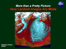 This lesson, created by Jeannie Allen and offered by the Integrated Geospatial Education and Technology Training Project (iGETT), introduces students to concepts in remote sensing and the creation of Landsat imagery. A 57-slide PowerPoint presentation covers topics related to Landsat imagery,...
 This video, created by Integrated Geospatial Education and Technology Training Project (iGETT), discusses how remote sensing tools and techniques are used for studying oceans. The following topics are covered: why should we explore the ocean, how do we explore the ocean with remote sensing, ocean...
 These resources include a 4-page syllabus and a 1-page course table map for the Geoscience: Principles and Methods course taught at Weber State University. "This is an advanced geospatial course that introduces and analyzes important concepts, issues, and methods related to a variety of...
 This video, provided by Virginia Geospatial Extension, is part of a series of 28 tutorial videos on remote sensing with ArcGIS Pro. This tutorial "uses ArcGIS Pro version 2.2 to illustrate how to fix a broken data link." This video runs 03:49 minutes in length. The other videos in the series are...
|
| ← PreviousNext → |