Browse Resources
Resources |
|---|
 This tutorial, provided by Virginia Geospatial Extension, is part of a series of 30 videos that cover remotely sensed data in ArcMap 10.x versions. This tutorial is divided into two videos (19A and 19B) and covers "supervised classification of Landsat Imagery." During the tutorial, the following...
 This tutorial, provided by Virginia Geospatial Extension, is part of a series of 30 videos that cover remotely sensed data in ArcMap 10.x versions. This tutorial is divided into two videos (19A and 19B) and covers "supervised classification of Landsat Imagery." During the tutorial, the following...
 This video, from the Integrated Geospatial Education and Technology Training Project (iGETT), introduces the audience to the difference between supervised and unsupervised classification of remote sensing data. The lecture covers the concept of classification and its purpose before introducing the...
 This website, from the National Geospatial Technology Center of Excellence, is a national database for GIST and geospatial technology syllabi. The syllabi are accessible to any users who want to observe geospatial syllabi from higher education institutions. Syllabi are provided free for download...
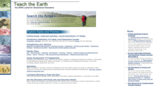 Teach the Earth is a portal into the rich geoscience education content available through dozens of independent project websites. The Teach the Earth portal is a handful of web pages which can help guide you through this diverse array of sites. It includes a search interface spanning all the...
 This 2-page document explores the growing and changing field of surveying due to the incorporation of new technologies such as GPS, GIS, and remote sensing. Here, the Geospatial Technology Competency Model (GTCM) is addressed and contextualized for instructors. The GTCM formally outlined some of the...
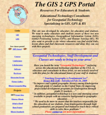 This resource, created by The GIS 2 GPS Portal Resources For Educators & Students, "want[s] to make educators and students aware of these two new emerging technologies, Geographical Information System (GIS), Global Positioning System (GPS), and Remote Sensing (RS)." The resource contains links to...
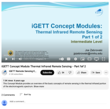 This video, from the Integrated Geospatial Education and Technology Training Project (iGETT), is the first part of a two-part presentation on thermal infrared sensing. Topics covered include an introduction to the concept of thermal infrared, thermal radiation laws (including Backbody,...
 This video, from the Integrated Geospatial Education and Technology Training Project (iGETT), is the second part of a two-part presentation on thermal infrared sensing. It begins with an opportunity to address questions from the first part of the presentation and then reviews concepts with multiple...
 This webpage from the GeoTech Center features a document from Irina Kopteva of Pikes Peak Community College discussing the Tiered Internship Model for students in geospatial technology. The goal of the project was "to create a tiered internship program with industry that will start with two-year...
|
| ← PreviousNext → |