Browse Resources
Resources |
|---|
 This tutorial, from the Integrated Geospatial Education and Technology Training Project (iGETT), uses a viewer available through an internet browser to introduce students to remote sensing and imagery. The nine step activity uses the ChangeMatters viewer from the Ersi GIS company to investigate...
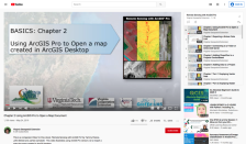 This video, provided by Virginia Geospatial Extension, is part of a series of 28 tutorial videos on remote sensing with ArcGIS Pro. This tutorial demonstrates how to import a map document created in ArcGIS desktop. This video runs 04:08 minutes in length. The other videos in the series are available...
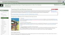 This page, from Science Education Resource Center at Carlton College (SERC), offers a number of resources for teaching GIS and remote sensing in both the field and the classroom in order to help build "geoscientists' habits of mind, which are essential for moving from a novice to an expert...
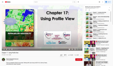 This video, provided by Virginia Geospatial Extension, is part of a series of 22 tutorial videos on working with Lidar using ArcGIS Pro. This tutorial "demonstrate[s] Profile View in ArcGIS Pro, an essential tool for classifying unassigned points in a point cloud." This video runs 05:01 minutes in...
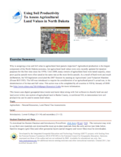 This exercise, from the Integrated Geospatial Education and Technology Training Project (iGETT), uses digital geospatial data (vector and raster data) along with Esri software to classify land use and land cover within one section of agricultural land in Burke County, North Dakota to demonstrate how...
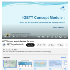 This video, from the Integrated Geospatial Education and Technology Training Project (iGETT), gives a detailed explanation of the naming conventions for Landsat files. The presentation covers the elements of the file names and the context needed to understand those elements, including a brief...
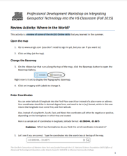 This 2-page activity from the GeoTech Consortium of Western New York provides students with a review of basic ArcGIS Online skills. Covered is changing the basemap, entering coordinates, and measuring length. The activity features instructions and spaces for students to answer questions. Users will...
 This is a 27-page white paper on the history of geospatial education at two-year colleges in the United States. The paper addresses the history of the field from the 1980s to present. The document also looks at how GIS education fits into the larger community college landscape and discusses...
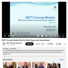 This video, created by Integrated Geospatial Education and Technology Training Project (iGETT), covers why pixels are square and lenses are round. The video discusses the following questions: why are pixels round, can pixels be shapes other than square, why are lenses round, and why aren't lenses...
 This brief case study highlights San Diego's Mesa Community College's Geographic Information Systems program, and the strategies that program has adopted to recruit and retain female students. The program took part in the CalWomen Tech Project, which was a collaborative effort by several colleges to...
|
| ← Previous |