Browse Resources
Resources |
|---|
 This video, provided by Virginia Geospatial Extension, is part of a series of 28 tutorial videos on remote sensing with ArcGIS Pro. This tutorial "... uses ArcGIS Pro version 2.3.3 to complete an unsupervised classification on a Landsat 8 image; determine the land use / land cover category...
 This video, provided by Virginia Geospatial Extension, is part of a series of 22 tutorial videos on working with Lidar using ArcGIS Pro. This tutorial demonstrates the following four geoprocessing tools: classify ground, classify by height, reassign classification, and feature proximity:2D...
 This video, provided by Virginia Geospatial Extension, is part of a series of 22 tutorial videos on working with Lidar using ArcGIS Pro. This tutorial demonstrates combining multiple .las files into a single .lasd data set, two methods for creating a LAS dataset - Catalog and Geoprocessing tool, and...
 This video, provided by Virginia Geospatial Extension, is part of a series of 28 tutorial videos on remote sensing with ArcGIS Pro. This tutorial "demonstrates how to conduct a supervised classification, based on training samples created in prior chapters, in ArcGIS Pro version 2.3.3." This video...
 This video, provided by Virginia Geospatial Extension, is part of a series of 28 tutorial videos on remote sensing with ArcGIS Pro. This video is the first of three tutorials that cover adding data to a map project. This tutorial "uses ArcGIS Pro version 2.2 to illustrate how to connect to a folder...
 This tutorial, provided by Virginia Geospatial Extension, is part of a series of 30 videos that cover remotely sensed data in ArcMap 10.x versions. This tutorial demonstrates connection to a driver and server in ArcMap. This video runs 01:34 minutes in length. The other videos in the series are...
 This video, from the Integrated Geospatial Education and Technology Training Project (iGETT), is the first part of a two-part presentation on correcting Landsat imagery data for solar reflectance. The lecture introduces the concept of solar irradiance, brightness and its digital number, and the...
 This video, from the Integrated Geospatial Education and Technology Training Project (iGETT), is the second part of a two-part presentation on correcting Landsat imagery data for solar reflectance. The lecture reviews and builds on concepts introduced in the first video, before moving on to the...
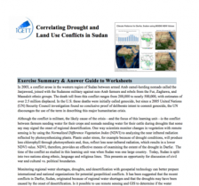 This exercise, from the Integrated Geospatial Education and Technology Training Project (iGETT), uses remote sensing data to explore the correlation between environmental conditions and conflict in Sudan. In this eight part activity, students use MODIS imagery and NDVI Analysis in the context of...
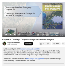 This video, provided by Virginia Geospatial Extension, is part of a series of 28 tutorial videos on remote sensing with ArcGIS Pro. This tutorial "uses ArcGIS Pro version 2.3 to combine different bands of a Landsat image into a single composite image." This video runs 06:00 minutes in length. The...
|
| ← PreviousNext → |