Browse Resources
Resources |
|---|
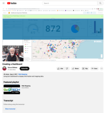 This video, provided by the GeoTech Center, is part of a series on web mapping and focuses on creating and editing a dashboard on ArcGIS Dashboards. ArcGIS Dashboards, a component ArcGIS Online, allows users to display a map and associated data in a browser on one customizable page.
During the...
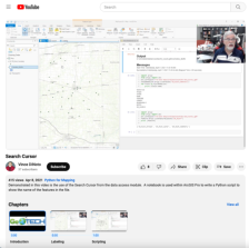
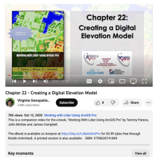 This video, provided by Virginia Geospatial Extension, is the last in a series of 22 tutorial videos on working with Lidar using ArcGIS Pro. This tutorial demonstrates creating a digital elevation model and digital surface model, discusses settings and alternate tools used in creating these models,...
 This resource, provided by the GeoTech Center, is the ninth and final online module in the Python and Geospatial Mapping course. The course is designed for experienced users of Global Information Systems (GIS) platforms who are new to programming, with the goal of teaching them how to use Python to...
 This video lesson, provided by the GeoTech Center, is from the ninth module of the Python and Geospatial Mapping course, titled Creating a Python Script Within a Notebook. The course is designed for experienced users of Global Information Systems (GIS) platforms who are new to programming, with the...
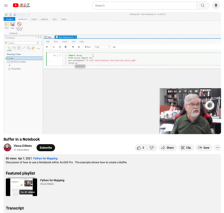 This video lesson, provided by the GeoTech Center, is from the ninth module of the Python and Geospatial Mapping course, titled Creating a Python Script Within a Notebook. The course is designed for experienced users of Global Information Systems (GIS) platforms who are new to programming, with the...
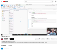 This video lesson, provided by the GeoTech Center, is from the ninth module of the Python and Geospatial Mapping course, titled Creating a Python Script Within a Notebook. The course is designed for experienced users of Global Information Systems (GIS) platforms who are new to programming, with the...
 This video lesson, provided by the GeoTech Center, is from the ninth module of the Python and Geospatial Mapping course, titled Creating a Python Script Within a Notebook. The course is designed for experienced users of Global Information Systems (GIS) platforms who are new to programming, with the...
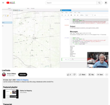
 This video lesson, provided by the GeoTech Center, is from the ninth module of the Python and Geospatial Mapping course, titled Creating a Python Script Within a Notebook. The course is designed for experienced users of Global Information Systems (GIS) platforms who are new to programming, with the...
 This video lesson, provided by the GeoTech Center, is from the ninth module of the Python and Geospatial Mapping course, titled Creating a Python Script Within a Notebook. The course is designed for experienced users of Global Information Systems (GIS) platforms who are new to programming, with the...
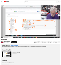
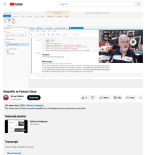 This video lesson, provided by the GeoTech Center, is from the ninth module of the Python and Geospatial Mapping course, titled Creating a Python Script Within a Notebook. The course is designed for experienced users of Global Information Systems (GIS) platforms who are new to programming, with the...
|
| ← PreviousNext → |