Browse Resources
Resources |
|---|
 This module is provided by GeoTech Center, and introduces the horizontal and vertical datums. This learning module stresses the importance of datums in geographic information systems. Module contents include a video recording, a PowerPoint file of the slides from the presentation, a folder of past...
 Learning Unit Description:
The Integrated Geospatial Education and Technology Training Project (iGETT) presents a series of Learning Units (LU) designed to incorporate federal land remote sensing data into Geographic Information System (GIS) instruction. The Determining Ecoroof Locations to Improve...
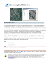 This exercise, from the Integrated Geospatial Education and Technology Training Project (iGETT), uses annual flood risk in Cedar Rapids, Iowa as an example to help students understand how Geographic Information System (GIS) and remote sensing can be used to analyze flood situations. Using this...
 Learning Unit Description:
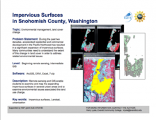
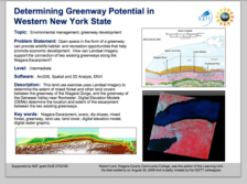
The Integrated Geospatial Education and Technology Training Project (iGETT) presents a series of Learning Units (LU) designed to incorporate federal land remote sensing data into Geographic Information System (GIS) instruction. The Determining Greenway Potential in...
 Learning Unit Description:
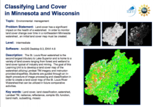
The Integrated Geospatial Education and Technology Training (iGETT) presents a series of Learning Units (LU) designed to incorporate federal land remote sensing data into Geographic Information Systems (GIS) instruction. The Classifying Land Cover in Minnesota and...
 This YouTube channel from Directions Media includes educational videos related to geospatial technology. Directions Media is the leading source of information, news and commentary in the fields of geospatial and location-based technologies. They keep readers informed with news and technology issues...
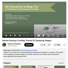 This tutorial, provided by Virginia Geospatial Extension, is part of a series of 30 videos that cover remotely sensed data in ArcMap 10.x versions. This video covers displaying Landsat imagery in ArcMap, Setting processing workplaces, and the Image Analysis Window. This video runs 02:53 minutes in...
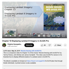 This video, provided by Virginia Geospatial Extension, is part of a series of 28 tutorial videos on remote sensing with ArcGIS Pro. This tutorial "uses ArcGIS Pro version 2.3 to illustrate how to display different bands of a Landsat scene..." The band's properties are examined, including viewing and...
 This tutorial, provided by Virginia Geospatial Extension, is part of a series of 30 videos that cover remotely sensed data in ArcMap 10.x versions. This video demonstrates modifying symbology for vector and raster features in ArcMap. This video runs 01:48 minutes in length. The other videos in the...
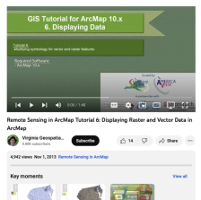
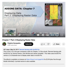 This video, provided by Virginia Geospatial Extension, is part of a series of 28 tutorial videos on remote sensing with ArcGIS Pro. This tutorial demonstrates how to display raster data in ArcGIS Pro version 2.2. This video runs 05:12 minutes in length. The other videos in the series are available...
|
| ← PreviousNext → |