Browse Resources
Information and Security Technologies -- Geospatial technologies
Resources |
|---|
 These resources include a 3-page syllabus and a 1-page course table map for the Geospatial Internship course at Weber State University. "This summative course provides a structured work experience in a supervised setting under the direction of a geospatial employer mentor and the course instructor....
 These resources include a 4-page syllabus and a 2-page course table map for the Geospatial Programming and Online Methods course taught at Weber State University. "Half of the course is devoted to customizing GIS software applications by way of modified service interface elements. Topics include the...
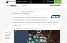 This video segment from Geospatial Revolution, produced by Penn State Public Broadcasting, demonstrates how different digital technologies can be used together to create a powerful mapping tool that can help in a crisis situation. In the aftermath of the 2010 earthquake in Haiti, a technology...
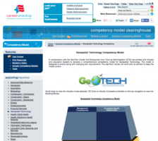 The Geospatial Technology Competency Model (GTCM) is depicted as a pyramid with nine tiers. This depiction illustrates how occupational and industry competencies build on a foundation of personal effectiveness, academic, and workplace competencies. Each tier consists of one or more blocks...
 This Geotech website provides information on the Geospatial Technology Competency Model DACUMS. This site defines Developing a Curriculum (DACUM) and the DACUM Process. "Developing a Curriculum (DACUM) is a process that incorporates the use of a focus group in a facilitated storyboarding process to...
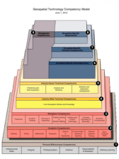 This 28 page document contains a detailed description of the Geospatial Technology Competency Model (GTCM). This pyramid model is depicted with nine tiers. The depiction "illustrates how occupational and industry competencies build on a foundation of personal effectiveness, academic, and workplace...
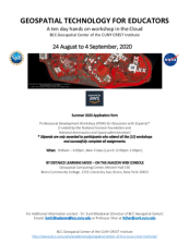 This 6-page document, from the BCC Geospatial Center of the CUNY CREST Institute, includes the application form for the summer 2020 Geospatial Technology For Educators workshop. This event was a 10 day hands-on professional development workshop in the Cloud. In addition to the application, this...
 The GeoTech Center curated this list of case studies which will be useful sources of information for instructors in this subject area. Included in the list are Academic Case Studies, which contain information which "highlights exemplary geospatial technology academic programs from around the US....
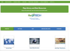 This page from GeoTech includes links to data sources and online maps that would be useful in geospatial courses. Links are included for websites, software, data, services, and standards.
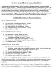 This five page document discuses model courses for a model certificate developed by GeoTech. Five core courses are recommended including Introduction to Geospatial Technology, Spatial Analysis and Modeling, and Data Acquisition and Management. A number of elective courses are also listed including...
|
| ← PreviousNext → |