Browse Resources
Information and Security Technologies -- Geospatial technologies
Resources |
|---|
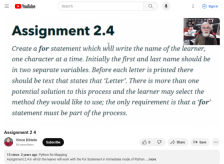 This video assignment, provided by the GeoTech Center, is the third assignment from module two of the Python and Geospatial Mapping course, titled Getting Started. The course is designed for experienced users of Global Information Systems (GIS) platforms who are new to programming, with the goal of...
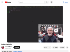 This video, provided by the GeoTech Center, is from the second module of the Python and Geospatial Mapping course. The course is designed for experienced users of Global Information Systems (GIS) platforms who are new to programming, with the goal of teaching them how to use Python to automate...
 This document from John Johnson of the National GeoTech Center outlines competency requirements for geospatial technicians. The report is divided into two main sections: workforce technical competencies and workforce knowledge, skill and behavior competencies. The document includes a number of...
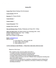 This 5-page syllabus provides an overview of the Remote Sensing of the Environment course taught at the California University of Pennsylvania. "This course covers the composition and interpretation of aerial photographs and remote sensing images." The syllabus includes course objectives, a course...
 This 12-page syllabus provides an overview of the Introduction to GIS with Lab course taught at the University of West Florida. "This Introduction to GIS course strives to provide a balance between the "how-to" of using ArcGIS 10.x and the "why" of GIS by explaining the roles GIS technology plays in...
 This 14-page syllabus provides an overview of the Applications in Geographic Information Science course taught at the University of West Florida. This course covers how to use ArcGIS and explains the roles GIS technology plays in analyzing local, regional, and global problems. This course builds on...
 This 5-page syllabus provides an overview of the Environment Applications in GIS course taught at the California University of Pennsylvania. "This course is tailored to introduce Environmental Issues to students within a spatial framework, using Geographic Information Science." The syllabus includes...
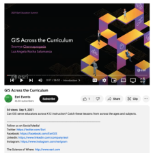 This video, from the 2021 Esri Education Summit, provides two presentations on how GIS can serve K-12 educators. In the first presentation, Soumya Chennapragada describes a GIS club at Morning Creek Elementary School. The GIS club's implementation, the Esri kids fair, GIS activities for students,...
 This site, created by Venkatesh Merwade of Purdue University, offers tutorials relating to GIS and water resources modeling. Topic areas covered are hydraulic and hydrologic modeling, GIS and hydrologic modeling and downloading geospatial and temporal data for hydrologic/hydraulic modeling. All...
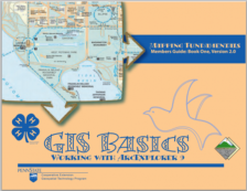 This introductory manual, GIS Basics: Working with ArcExplorer 9, was created by the Penn State University Cooperative Extension Geospatial Technology Program and is meant to supplement the education of 4-H students interested in GIS technologies. This manual covers the fundamentals of GIS,...
|
| ← PreviousNext → |