Browse Resources
Information and Security Technologies -- Geospatial technologies
Resources |
|---|
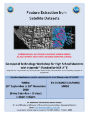 This 6-page resource, from the Geospatial Center of the CUNY CREST Institute, includes an application for the fall 2020 high school workshop Feature Extraction from Satellite Datasets. This workshop was intended to "expose and train participants in feature extraction techniques using industry...
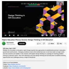 This video is from the Plenary session of the 2021 Esri Education Summit. The main topic of this session is design thinking in GIS education. This session explores "... design thinking as a strategy for teaching problem solving in a dynamic world." Viewers will "hear from educators who fuse design...
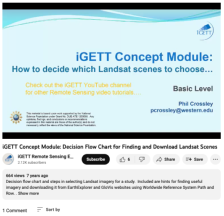 This video, created by Integrated Geospatial Education and Technology Training Project (iGETT), provides a decision flow chart and steps for selecting Landsat imagery for a study. The video includes "hints for finding useful imagery and downloading it from EarthExplorer and GloVis websites using...
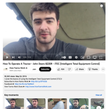 In this video, provided by How Farms Work, Ryan Kuster covers the basics of using the Intelligent Total Equipment Control (iTEC) in John Deere tractors. iTEC is a set of automations that the operator can set the tractor to perform. The automations are intended to reduce operator fatigue. During the...
 Learning Unit Description:
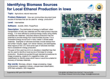
The Integrated Geospatial Education and Technology Training Project (iGETT) presents a series of Learning Units (LU) designed to incorporate federal land remote sensing data into Geographic Information System (GIS) instruction. The Identifying Biomass Sources for...
 Learning Unit Description:
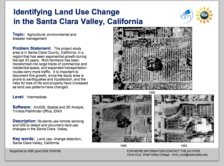
The Integrated Geospatial Education and Technology Training Project (iGETT) presents a series of Learning Units (LU) designed to incorporate federal land remote sensing data into Geographic Information System (GIS) instruction. The Land Use Change Detection in the Santa...
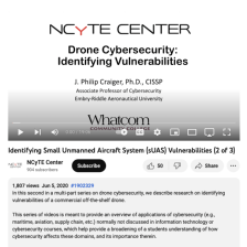 This video, from the National Cybersecurity Training and Education (NCyTE) Center, is the first in a series of three videos that discuss small unmanned aerial system (sUAS or drone) cybersecurity. These videos are meant to demonstrate that many types of computing devices are vulnerable to...
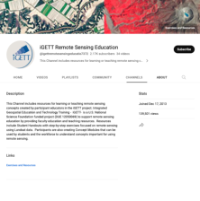 This iGETT Remote Sensing Education YouTube channel includes videos for teaching and learning remote sensing concepts. These videos were created by participant educators in the iGETT project. Videos include the following: Remote Sensing Made Easy, Introduction to Remote Sensing Concepts for GIS,...
 The Illinois GIS Association was created to unite the geographic information system (GIS) community together in order to work together to overcome the challenges of the field. This association allows businesses and individuals in GIS to share their experiences and expertise, to participate in...
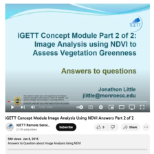 This video, created by Integrated Geospatial Education and Technology Training Project (iGETT), is the second part of a two part series on monitoring vegetation greeness with remote sensing. This video is a mini quiz that includes seven questions and answers. Questions include the following: What is...
|
| ← PreviousNext → |