Browse Resources
Information and Security Technologies -- Geospatial technologies
Resources |
|---|
 This video from AmericaView is part of a series that explores the process of assessing the accuracy of maps made from remotely sensed data. This recording is the first of two introductory videos. In the video, Russell G. Congalton describes the series, positional and thematic accuracy assessment,...
 This video from AmericaView is part of a series that explores the process of assessing the accuracy of maps made from remotely sensed data. This recording is the second of two introductory videos. In the video, Russell G. Congalton talks about key concepts for general accuracy assessments,...
 This site from the Science Education Resource Center at Carleton College provides a number of resources for teachers of introductory geoscience courses. Lesson plans include topics like the history of geology, causes and implications of global change, global sustainability, physical geology and the...
 This page from the GeoTech Center provides a document on workforce competencies for GIS & remote sensing occupations. The material discusses central job tasks, required knowledge, skills and behaviors and required competencies for careers in this field. The document is available for download in PDF...
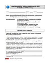 In this 7-page activity, provided by the GeoTech Consortium of Western New York, students will "discover and investigate tectonic plate boundaries by analyzing maps showing seismic volcanic activity." The student worksheet includes instructions and questions to be answered throughout the lab. This...
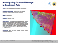 Learning Unit Description:
The Integrated Geospatial Education and Technology Training Project (iGETT) presents a series of Learning Units (LU) designed to incorporate federal land remote sensing data into Geographic Information System (GIS) instruction. The Investigating Tsunami Damage in...
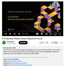 This video is the plenary session for the 2021 Esri Education Summit. In the plenary session, Charlie Fitzpatrick introduces the summit and Esri team and explores the Esri School Program. Kylie Donia also leads a participant survey with ArcGIS. The GeoInquiries Program, NatGeo Education, an overview...
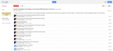 This resource is a Google group page for the organization KanGIS. The group's stated purpose is to "support community for educators interested in using geotechnologies, including GIS, GPS and geocaching, digital globes, orienteering, and remotely sensed data in any educational setting - especially...
 On this page from the SAGE 2YC project, Carol Ormand has compiled a number of useful resources on preparing students for their careers by bolstering their knowledge, skills and abilities. The page includes employer and employee perspectives, AGI career webinars, profiles of geoscientists and...
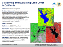 Learning Unit Description:
The Integrated Geospatial Education and Technology Training Project (iGETT) presents a series of Learning Units (LU) designed to incorporate federal land remote sensing data into Geographic Information Systems (GIS) instruction. The Classifying and Evaluating Land Cover...
|
| ← PreviousNext → |