Browse Resources
Information and Security Technologies -- Geospatial technologies
Resources |
|---|
 This video, from the 2021 Esri Education Summit, highlights the ArcGIS Online Map Viewer, which is part of the ArcGIS platform. Background information on the application, information on how to use it, a demo, information on transitioning from Map Viewer Classic, GIS resources, and more are provided....
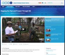 The ATETV project delivers web-based videos to connect students to careers in advanced technology. In this episode of ATETV, take a walk outside with a instructor and students who are plotting maps and using GIS to help one community preserve history. Running time for the full episode of this...
 Learning Unit Description:
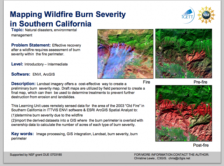
The Integrated Geospatial Education and Technology Training Project (iGETT) presents a series of Learning Units (LU) designed to incorporate federal land remote sensing data into Geographic Information System (GIS) instruction. The Post-Fire Burn Assessment LU, by...
 Activity Description:
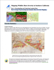
This activity, created by Christine Lewis of California State University, Chico, uses burn severity data from the 2003 "Old Fire" wildfire in the San Bernardino Mountains to underscore the role that remote sensing can play in determining changes in landscapes after a fire....
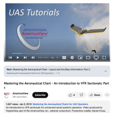 This video, from AmericaView, is the first in a six part series that discusses how to master the aeronautical chart for unmanned aerial systems (UAS) operators. The video covers an introduction to Visual Flight Rules (VFR) sectional charts, discusses what a sectional chart is, and provides a brief...
 This video, from AmericaView, is the second in a six part series that discusses how to master the aeronautical chart for unmanned aerial systems (UAS) operators. The video covers the basic layout of Visual Flight Rules (VFR) sectionals and where to find ancillary data. The video runs 6:40 minutes in...
 This video, from AmericaView, is the fourth in a six part series that discusses how to master the aeronautical chart for unmanned aerial systems (UAS) operators. The video covers the different classes of normal use airspace and how they dictate where one can and cannot fly. The video runs 8:45 ...
 This video, from AmericaView, is the fifth in a six part series that discusses how to master the aeronautical chart for unmanned aerial systems (UAS) operators. The video covers the different types of special use airspace and in what way they dictate how or if one can fly in different areas. The...
 This video, from AmericaView, is the third in a six part series that discusses how to master the aeronautical chart for unmanned aerial systems (UAS) operators. The video covers the legend and symbology of a Visual Flight Rules (VFR) sectional. The video runs 8:45 minutes in length.
The remaining...
 Mastering the Aeronautical Charts: How to Read and Create Flight Plans with Sectionals (Part 6 of 6)This video, from AmericaView, is the last in a six part series that discusses how to master the aeronautical chart for unmanned aerial systems (UAS) operators. The video takes a look at topographic features not included in the legend, covers how one can find coordinates for any location through...
|
| ← PreviousNext → |