Browse Resources
Information and Security Technologies -- Geospatial technologies
Resources |
|---|
 This resource, from the 2021 Esri Education Summit, is the first of two videos that discuss ArcGIS Online Organizations for schools. In this video, users will "learn the must do's for the first critical tasks (and repairs, if you've already launched), and best practices for ongoing success." Some of...
 This resource, from the 2021 Esri Education Summit, is the second of two videos that discuss ArcGIS Online Organizations for schools. This video is intended for people who have already started operating an org. The video goes over the following topics to insure everything goes smoothly:
showcase...
 This video, provided by the GeoTech Center, is a concept module that reviews the development of artificial intelligence and how it is used in applications and tools for geospatial technology. The module also defines and reviews machine learning, deep learning, and the Internet of Things and...
 Learning Unit Description:
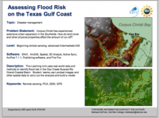
The Integrated Geospatial Education and Technology Training Project (iGETT) presents a series of Learning Units (LU) designed to incorporate federal land remote sensing data into Geographic Information System (GIS) instruction. The Flood Risk Assessment LU, by Barbara...
 Learning Unit Description:
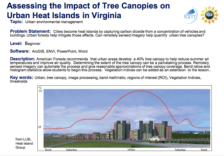
The Integrated Geospatial Education and Technology Training Project (iGETT) presents a series of Learning Units (LU) designed to incorporate federal land remote sensing data into Geographic Information System (GIS) instruction. The Assessing the Impact of Tree Canopies...
 This article, from Brandon Plewe and Steven Prager, outlines the University Consortium of Geographic Information Science's (UCGIS) Geographic Information Science and Technology Body of Knowledge, which is a curriculum meant "to identify the broad spectrum of knowledge, skills and techniques that...
 This video from the Internet Scout Research Group is part of a series that highlights student success stories related to advanced technological education (ATE) programs. In this video, Sam Martinich discusses his experiences with Central Wyoming College's geospatial information systems and...
 Su Coy is studying GIS through Palomar College's ATE project and loving it. She never thought much about education as a young woman, and had some struggles along the way, but now she knows she is on the right path with GIS and is excited about her professional and personal victories.
 This concept module, provided by GeoTech Center, briefly reviews associations between geographic features in geodatabases, specifically reviewing joins, relates and relationship classes. The module video describes what a key field is and how it is used in joins and relates. The video runs 18:07...
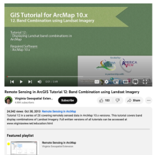 This tutorial, provided by Virginia Geospatial Extension, is part of a series of 30 tutorial videos that cover remotely sensed data in ArcMap 10.x versions. "This tutorial covers band display combinations of Landsat Imagery." This video runs 03:49 minutes in length. The other videos in the series...
|
| ← PreviousNext → |