Browse Resources
Information and Security Technologies -- Geospatial technologies
Resources |
|---|
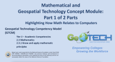 This module is provided by GeoTech Center and introduces mathematical concepts that are related to geospatial technologies. Module contents include two video recordings and a document providing an overview of the module.
The Concept Module Part 1 is a recorded PowerPoint presentation provided by...
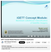 This video, from the Integrated Geospatial Education and Technology Training Project (iGETT), introduces Maximum Likelihood Classification (MLC) and its use in GIS data. The presentation covers multiband imagery, Landsat 7 spectral bands, land class signatures and training samples, and a priori...
 This article from the GeoTech Center describes the growing sector of remote sensing in the geospatial industry. The Department of Labor Employment and Training Administration formally recognized remote sensing as an occupation in 2013. Requirements, career options and pathways, and lists of possible...
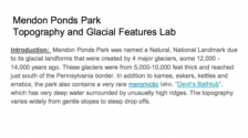 In this activity, provided by the GeoTech Consortium of Western New York, students hike Mendon Ponds Park to learn about topography and glacial features. "Students will fortify their understanding of topographic maps, by physically hiking an area that they previously viewed on paper and experiencing...
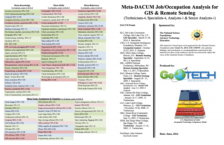 This 81-page resource is provided by GeoTech and includes a Meta-DACUM research chart and lists of DACUM job tasks and skills for GIS and Remote Sensing specialists. "Developing a Curriculum (DACUM) is a process that incorporates the use of a focus group in a facilitated storyboarding process to...
 This video, provided by Virginia Geospatial Extension, is part of a series of 28 tutorial videos on remote sensing with ArcGIS Pro. This tutorial defines metadata and "illustrates various locations in ArcGIS Pro where metadata can be found." This video runs 07:56 minutes in length. The other videos...
 This module is provided by GeoTech Center and introduces concepts related to metadata and geospatial data. Module contents include a video recording, a PowerPoint presentation, and a quiz that reviews the content presented in the module.
The Concept Module Video is a recorded PowerPoint...
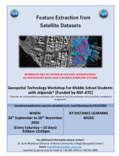 This 6-page resource, from the Geospatial Center of the CUNY CREST Institute, includes an application for the fall 2020 middle school workshop Feature Extraction from Satellite Datasets. This workshop was intended to "expose and train participants in feature extraction techniques using industry...
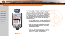 This resource provides insight into cutting edge technology in the field of geographic information systems. The stated purpose of this research is "to provide park rangers and other resource mangers with integrated mobile geospatial information services that will support and help optimize their...
 This resource, provided by the GeoTech Center, is the eighth of nine online modules in the Python and Geospatial Mapping course. The course is designed for experienced users of Global Information Systems (GIS) platforms who are new to programming, with the goal of teaching them how to use Python to...
|
| ← PreviousNext → |