Browse Resources
Information and Security Technologies -- Geospatial technologies
Resources |
|---|
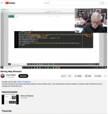
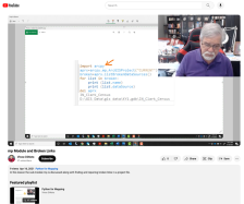
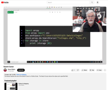
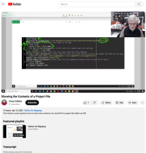
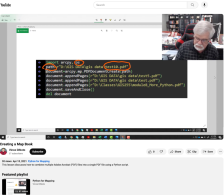 This video lesson, provided by the GeoTech Center, is from the eighth module of the Python and Geospatial Mapping course, titled More Python. The course is designed for experienced users of Global Information Systems (GIS) platforms who are new to programming, with the goal of teaching them how to...
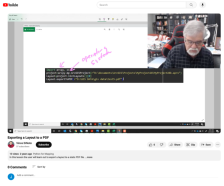 This video lesson, provided by the GeoTech Center, is from the eighth module of the Python and Geospatial Mapping course, titled More Python. The course is designed for experienced users of Global Information Systems (GIS) platforms who are new to programming, with the goal of teaching them how to...
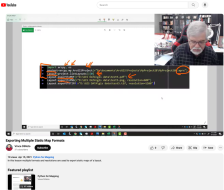 This video lesson, provided by the GeoTech Center, is from the eighth module of the Python and Geospatial Mapping course, titled More Python. The course is designed for experienced users of Global Information Systems (GIS) platforms who are new to programming, with the goal of teaching them how to...
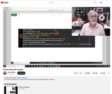 This video lesson, provided by the GeoTech Center, is from the eighth module of the Python and Geospatial Mapping course, titled More Python. The course is designed for experienced users of Global Information Systems (GIS) platforms who are new to programming, with the goal of teaching them how to...
 This video lesson, provided by the GeoTech Center, is from the eighth module of the Python and Geospatial Mapping course, titled More Python. The course is designed for experienced users of Global Information Systems (GIS) platforms who are new to programming, with the goal of teaching them how to...
 This video lesson, provided by the GeoTech Center, is from the eighth module of the Python and Geospatial Mapping course, titled More Python. The course is designed for experienced users of Global Information Systems (GIS) platforms who are new to programming, with the goal of teaching them how to...
 This video lesson, provided by the GeoTech Center, is from the eighth module of the Python and Geospatial Mapping course, titled More Python. The course is designed for experienced users of Global Information Systems (GIS) platforms who are new to programming, with the goal of teaching them how to...
 This video lesson, provided by the GeoTech Center, is from the eighth module of the Python and Geospatial Mapping course, titled More Python. The course is designed for experienced users of Global Information Systems (GIS) platforms who are new to programming, with the goal of teaching them how to...
 This video lesson, provided by the GeoTech Center, is from the eighth module of the Python and Geospatial Mapping course, titled More Python. The course is designed for experienced users of Global Information Systems (GIS) platforms who are new to programming, with the goal of teaching them how to...
 This 2-page resource, provided by the GeoTech Consortium of Western New York, is part one of a 2-part lab activity that has students map the latitude, longitude, elevation, and glacier feature information of Mt. Hope Cemetery. In part one, students personally visit Mt. Hope Cemetery to collect data...
|
| ← PreviousNext → |