Browse Resources
Information and Security Technologies -- Geospatial technologies
Resources |
|---|
 This 2-page resource, provided by the GeoTech Consortium of Western New York, is the second part of a lab activity that has students map the latitude, longitude, elevation, and glacier feature information of Mt. Hope Cemetery. In part two of the lab, students will create an excel spreadsheet of data...
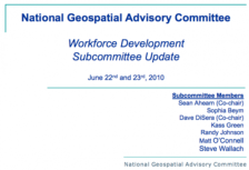 This presentation from the GeoTech Center features a report from the National Geospatial Advisory Committee subcommittee on workforce development. The group looks at the question: "Do we have a sufficient geospatial workforce to meet national needs and spur innovation?" The report includes details...
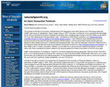 This page contains information about Nature of Geographic Information, by David DiBiase. The textbook includes sections on data and information, scales and transformations, census data and thematic maps, TIGER, topology and geocoding, land surveying and GPS, national spatial data, remote sensing and...
 This video, from the 2021 Esri Education Summit, explores Esri's education resources. Resources cover a variety of topics, such as geography, environment, business, and health. Resources also provides a variety of capabilities, such as mapping, analysis, and data collection. In the video, an...
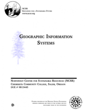 This Geographic Information Systems 3-credit course is intended to "introduce students to the principles and practice of GIS, while providing experience using ArcView and Idrisi. This course will develop both a theoretical understanding of GIS and experience in accessing GIS datasets. Students will...
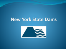 These presentation slides, provided by the GeoTech Consortium of Western New York, include background information on New York State dams for the related Dams in New York State activity. The presentation covers the Dam Hazard Ratings system and includes graphics on dams created by year in New York...
 This video, from the 2021 Esri Education Summit, provides three different presentations about learning with data. In the first presentation, Steve Borders from Coastal Carolina University describes the South Carolina Healthy Communities Index and explores the visualization of health inequality using...
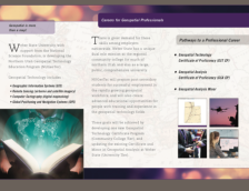 This promotional material includes two brochures for Weber State University's Geospatial Technology Education Program (NUGeoTec). The bifold brochure introduces students to the geospatial field and careers. The certificate and minor programs offered through NUGeoTec are listed along with contact...
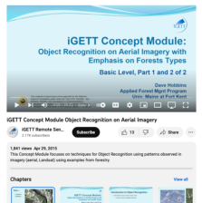 This video, created by Integrated Geospatial Education and Technology Training Project (iGETT), discusses techniques for object recognition on aerial imagery using examples from forestry. The video includes the following sections: Introduction to Object Recognition, Object Recognition Elements,...
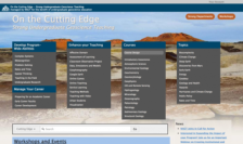 This website, managed by the National Association for Geoscience Teachers, provides professional development resources for undergraduate geoscience educators. Under "Develop Program-Wide Abilities," educators will find information on teaching complex systems, facilitating undergraduate research, and...
|
| ← PreviousNext → |