Browse Resources
Information and Security Technologies -- Geospatial technologies
Resources |
|---|
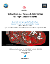 This 5-page resource provides information about the application process for the Summer Workforce Internship Program (SWIP) held by the BCC Geospatial Center of the CUNY CREST Institute. The goal of the SWIP "is to train participants in industry relevant geospatial and STEM research projects." During...
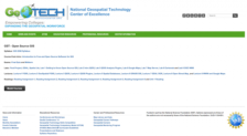 GeoTech Center presents this course on Open Source software for desktop and online GIS applications. The course introduces "the concepts of Open Source software, and the leading desktop and web mapping Open Source software packages." A syllabus includes recommended textbooks, a schedule, and student...
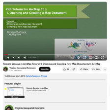 This video, provided by Virginia Geospatial Extension, is part of a series of 30 videos that cover remotely sensed data in ArcMap 10.x versions. This video shows how to open an existing map or create a new one in ArcMap. This video runs 00:45 seconds in length. The other videos in the series are...
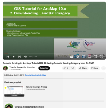 This tutorial, provided by Virginia Geospatial Extension, is part of a series of 30 videos that cover remotely sensed data in ArcMap 10.x versions. Tutorial seven is divided into four videos: A, B, C, and D. This video shows how to order data in GLOVIS. The video runs 01:08 minutes in length. The...
 This video, from the Integrated Geospatial Education and Technology Training Project (iGETT), uses a paint-by-number analogy to explain supervised classification in GIS data. The demonstration addresses some of the pros and cons of the process, and quiz questions are included at the end to test...
 This page showcases student projects and other resources that may be used for GIS education. Users may view the resources as a grid, or by selecting the list view, they may read a brief description of each resource. These learning activities and interactive tools cover topics such as sociology,...
 This video, from the 2021 Esri Education Summit, provides three presentations on pandemic inspired pedagogical innovations. Presentations highlight how educators and students used web GIS tools and innovative approaches to stay engaged and keep learning on track during the COVID-19 pandemic. Miriam...
 This video, from the National Cybersecurity Training and Education (NCyTE) Center, is the final video in a series of three that discuss small unmanned aerial system (sUAS or drone) cybersecurity. These videos are meant to demonstrate that many types of computing devices are vulnerable to...
 The Pennsylvania State University offers B.S., B.A., M.S., and Ph.D. degrees in Geography. The faculty encourage students to arrange courses of study appropriate to their individual needs and aspirations. Programs in geography may be directed toward a career in public service, teaching and research,...
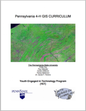 This curriculum resource, created by Penn State University for the Youth Engaged in Technology program (YET) is geared toward 4-H participants interested in learning about GIS technologies. This four week course module covers the fundamentals of GIS mapping as well as how to read and use GIS maps....
|
| ← PreviousNext → |