Browse Resources
Information and Security Technologies -- Geospatial technologies
Resources |
|---|
 This video, from the Integrated Geospatial Education and Technology Training Project (iGETT), introduces band combinations for Landsat imagery. The presentation gives an overview of reflected light as perceived by the eye and by censors, and how representing wavelength rages with various bands...
 This video, provided by Virginia Geospatial Extension, is part of a series of 28 tutorial videos on remote sensing with ArcGIS Pro. This tutorial "illustrate[s] creating band combinations and interpreting and comparing different band combinations..." Presets and symbology are both demonstrated. This...
 This video, from the 2021 Esri Education Summit, introduces best practices for implementing and managing the Esri ArcGIS ecosystem for educational institutions. In the video, modern GIS is defined and the importance of access is highlighted. Pillars of success in GIS are also discussed, which...
 Bismarck State College offers a program certificate, a certificate of completion, and an Associate in Applied Science degree in Geographic Information Systems (GIS). GIS is the only software program available that can capture and store geospatial data, which allows users to ask and answer complex...
 The Branch of Geospatial Support provides GIS training to Bureau of Indian Affairs offices and employees of Federally Recognized Tribal Entities for "management of natural resources on Indian lands, such as irrigation flood plain analysis, forest harvesting, wildland fire analysis, oil and gas...
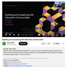 This video, from the 2021 Esri Education Summit, covers building and sustaining GIS education communities. This session discussed how institutions support scholars with different levels of technical skill and domain expertise, and what happens when a pandemic disrupts a successful support...
 This video, from the 2021 Esri Education Summit, provides three presentations on the informal education of GIS. The first presentation describes a collaboration between students and the Center for Black Health and Equity. Information and data on health disparities among the black population, the use...
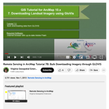 This tutorial, provided by Virginia Geospatial Extension, is part of a series of 30 videos that cover remotely sensed data in ArcMap 10.x versions. Tutorial seven is divided into four videos: A, B, C, and D. This video covers bulk downloading data from GLOVIS. This video runs 01:24 minutes in...
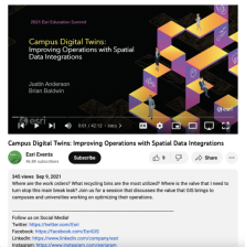 This video, from the 2021 Esri Education Summit, is a technical workshop that explores the improvement of campus operations with spatial data integrations. In the workshop, Justin Anderson and Brian Baldwin explore the problems that digital twins solve, facility information and visualization,...
 Description:
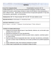
This Cartographic Design course, from the National Information, Security & Geospatial Technologies Consortium, is part of a series of model courses on GIS, spatial technologies, and related subjects to provide students with the professional skills necessary to succeed in geospatial...
|
| ← PreviousNext → |