Browse Resources
Information and Security Technologies -- Geospatial technologies
Resources |
|---|
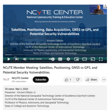 In this video from the National Cybersecurity Training and Education (NCyTE) Center, Vincent DiNoto explores data pathways concerning geospatial technologies and the requirements between open-source data, information security, and geospatial ethics. Global position satellites (GPS), global...
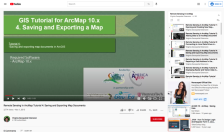 This tutorial, provided by Virginia Geospatial Extension, is part of a series of 30 videos that cover remotely sensed data in ArcMap 10.x versions. This tutorial demonstrates saving and exporting map documents in ArcGIS. This video runs 00:53 seconds in length. The other videos in the series are...
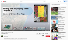 This video, provided by Virginia Geospatial Extension, is part of a series of 28 tutorial videos on remote sensing with ArcGIS Pro. This tutorial "uses ArcGIS Pro version 2.2 to illustrate saving ArcGIS Pro maps in forms that can be used in non-GIS platforms." This video runs 03:46 minutes in...
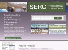 The Science Education Resource Center (SERC), an office of Carleton College, works to improve earth science education through projects that support educators. The office has special expertise in effective pedagogies, geoscience education, community organization, workshop leadership, digital...
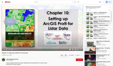 This video, provided by Virginia Geospatial Extension, is part of a series of 22 tutorial videos on working with Lidar using ArcGIS Pro. This tutorial demonstrates "work[ing] with the two types of templates that can be used with lidar data: Map Template (2-D) and Local Scene Template (3-D)." This...
 Description:
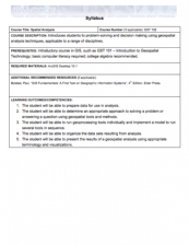
This Spatial Analysis course, from the National Information, Security & Geospatial Technologies Consortium, is part of a series of model courses on GIS, spatial technologies, and related subjects to provide students with the professional skills necessary to succeed in geospatial...
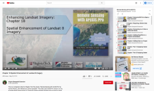 This video, provided by Virginia Geospatial Extension, is part of a series of 28 tutorial videos on remote sensing with ArcGIS Pro. This tutorial "uses ArcGIS Pro version 2.3 to illustrate spatial enhancement of Landsat 8 imagery including dynamic tools as well as spatial analyst tools, and...
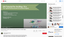 This tutorial, provided by Virginia Geospatial Extension, is part of a series of 30 videos that cover remotely sensed data in ArcMap 10.x versions. This tutorial is divided into two videos (15A and 15B) The "tutorial covers spatial enhancement of Landsat Imagery." Changing resampling technique,...
 This tutorial, provided by Virginia Geospatial Extension, is part of a series of 30 videos that cover remotely sensed data in ArcMap 10.x versions. This tutorial is divided into two videos (15A and 15B). The "tutorial covers spatial enhancement of Landsat Imagery." Changing resampling technique,...
 This video, from the Integrated Geospatial Education and Technology Training Project (iGETT), is the first part of a three-part presentation on spatial filters in remote sensing. It introduces brightness values, spatial frequency, high and low pass filters, and the reasons for using filters. The...
|
| ← PreviousNext → |