Browse Resources
Information and Security Technologies -- Geospatial technologies
Resources |
|---|
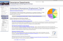
This page from the SAGE 2YC project provides a list of links to articles, webinars, data and other information on recent geoscience employment trends which will be very useful for GIS faculty and students. The page is divided into several sections: Future Geoscience Workforce Needs, Resources and...
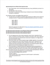
In this activity provided by the Unmanned Aircraft System operations Technician Education Program (UASTEP), students will be introduced to a multispectral sensor that can be used with a drone or unmanned aircraft system. In addition, students will analyze multispectral data from the sensor by using...
This tutorial, provided by Virginia Geospatial Extension, is part of a series of 30 videos that cover remotely sensed data in ArcMap 10.x versions. This tutorial is divided into two videos (18A and 18B) and covers "unsupervised classification of Landsat Imagery." During the tutorial, unsupervised...
This tutorial, provided by Virginia Geospatial Extension, is part of a series of 30 videos that cover remotely sensed data in ArcMap 10.x versions. This tutorial is divided into two videos (18A and 18B) and covers "unsupervised classification of Landsat Imagery." During the tutorial, unsupervised...
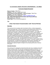
Learning Unit Description:
Integrated Geospatial Education and Technology Training (iGETT) presents a series of Learning Units (LU) designed to incorporate federal land remote sensing data into Geographic Information Systems (GIS) instruction. This LU "... explores urban heat islands (UHIs), a...
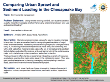
Exercise Description:
This exercise, created by the Integrated Geospatial Education and Technology Training Project (iGETT) asks students to develop a model to examine the relationship between land use and sediment loading. Data from the Chesapeake Bay region will be utilized. Remote sensing...
The Urban and Regional Information Systems Association (URISA) “is a multidisciplinary association where professionals from all parts of the spatial data community can come together and share concerns and ideas.” URISA connects the GIS community through webinars, workshops, publications, a career...
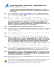
This tutorial, from the Integrated Geospatial Education and Technology Training Project (iGETT), uses a viewer available through an internet browser to introduce students to remote sensing and imagery. The nine step activity uses the ChangeMatters viewer from the Ersi GIS company to investigate...
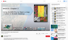
This video, provided by Virginia Geospatial Extension, is part of a series of 28 tutorial videos on remote sensing with ArcGIS Pro. This tutorial demonstrates how to import a map document created in ArcGIS desktop. This video runs 04:08 minutes in length. The other videos in the series are available...
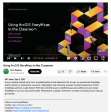
This video, from the 2021 Esri Education Summit, discusses using ArcGIS StoryMaps in the classroom. During this video, "... the latest features of ArcGIS StoryMaps and how to get started" are explored. The basics are covered, including what StoryMaps are and how a user can create StoryMaps that suit...
|
| ← PreviousNext → |
