Browse Resources
Information and Security Technologies -- Geospatial technologies
Resources |
|---|
 This page, from Science Education Resource Center at Carlton College (SERC), offers a number of resources for teaching GIS and remote sensing in both the field and the classroom in order to help build "geoscientists' habits of mind, which are essential for moving from a novice to an expert...
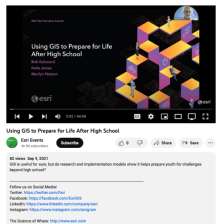 This video, from the 2021 Esri Education Summit, provides three presentations on how GIS prepares youth for challenges beyond high school. In the first presentation, Bob Kolvoord explores the measurement of cognitive and behavioral changes in students from GIS use. Kolvoord describes a...
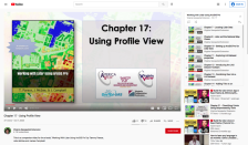 This video, provided by Virginia Geospatial Extension, is part of a series of 22 tutorial videos on working with Lidar using ArcGIS Pro. This tutorial "demonstrate[s] Profile View in ArcGIS Pro, an essential tool for classifying unassigned points in a point cloud." This video runs 05:01 minutes in...
 Learning Unit Description:
Integrated Geospatial Education and Technology Training (iGETT) presents a series of Learning Units (LU) designed to incorporate federal land remote sensing data into Geographic Information Systems (GIS) instruction. This LU focuses on what likely caused the crisis in...
 Learning Unit Description:
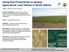
The Integrated Geospatial Education and Technology Training Project (iGETT) presents a series of Learning Units (LU) designed to incorporate federal land remote sensing data into Geographic Information System (GIS) instruction. The Using Soil Productivity to Assess...
 This exercise, from the Integrated Geospatial Education and Technology Training Project (iGETT), uses digital geospatial data (vector and raster data) along with Esri software to classify land use and land cover within one section of agricultural land in Burke County, North Dakota to demonstrate how...
 The Virginia Geospatial Extension Program "provides a comprehensive list of links to outside data sources to support Virginia local government, state agencies, education, and non-profit applications." Links to local Virginia government GIS contacts, higher education resources, federal agencies and...
 This white paper from Vince DiNoto of the Kentucky Community and Technical College System looks at methods of virtual GIS application desktop access. How can students best be accommodated when they need to access software from virtual or hybrid classroom settings, or classrooms which lack the proper...
 This video, provided by Virginia Geospatial Extension, is part of a series of 16 tutorial videos on using Lidar with ArcGIS Desktop. This tutorial demonstrates how to visualize Lidar data using ArcScene, one of the software applications of ArcGIS Desktop. This video runs 8:55 minutes in length. The...
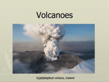 These presentation slides are provided by the GeoTech Consortium of Western New York: Get the GIST (Geospatial Information Science Technology) Certificate and include images of and information about volcanoes. Slide topics include stratovolcanoes, Mount St. Helens, shield volcanoes, lava flow...
|
| ← PreviousNext → |