Browse Resources
Information and Security Technologies -- Geospatial technologies
Resources |
|---|
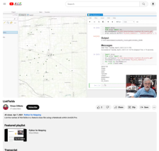 This video lesson, provided by the GeoTech Center, is from the ninth module of the Python and Geospatial Mapping course, titled Creating a Python Script Within a Notebook. The course is designed for experienced users of Global Information Systems (GIS) platforms who are new to programming, with the...
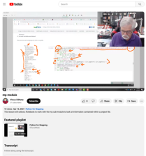 This video lesson, provided by the GeoTech Center, is from the ninth module of the Python and Geospatial Mapping course, titled Creating a Python Script Within a Notebook. The course is designed for experienced users of Global Information Systems (GIS) platforms who are new to programming, with the...
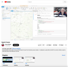 This video lesson, provided by the GeoTech Center, is from the ninth module of the Python and Geospatial Mapping course, titled Creating a Python Script Within a Notebook. The course is designed for experienced users of Global Information Systems (GIS) platforms who are new to programming, with the...
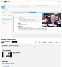 This video lesson, provided by the GeoTech Center, is from the ninth module of the Python and Geospatial Mapping course, titled Creating a Python Script Within a Notebook. The course is designed for experienced users of Global Information Systems (GIS) platforms who are new to programming, with the...
 In this 3-page activity, provided by the Unmanned Aircraft System operations Technician Education Program (UASTEP), students work with point cloud data gathered by drones and processed with photogrammetry techniques. In addition, students explore point cloud data provided by the U.S. Geological...
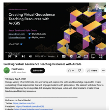 This workshop took place at the 2021 Esri Education Summit and "... explores the skills and knowledge required to create compelling virtual experiences that will engage students with geoscience." During this video, viewers will be shown "... how to blend 3D mapping, the Living Atlas, GIS analysis,...
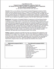 This 50-page article from the GeoTech Center provides descriptions of additional workforce competencies that may not have been entirely covered in the Geospatial Management Competency Model (GMCM). Although the GMCM was not intended to be a comprehensive list of all workforce competencies,...
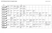 This 2-page resource is provided by GeoTech and is a DACUM research chart for geospatial analysts. This chart provides duties and tasks geospatial analysts perform. Duties include coordinate projects; manage tools and equipment; manage people; capture, manage, and analyze data, produce deliverables,...
 This 2-page resource is provided by GeoTech and is a DACUM research chart for GIS specialists. This chart provides duties and tasks GIS specialists perform. Duties include plan projects; acquire, process, and analyze data; administer server; produce deliverables, support users; and professional...
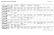
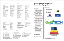 This DACUM, a curriculum development resource based on occupational analysis, is targeted specifically for Remote Sensing Specialists and was developed at a panel presentation in Denver, Colorado. General knowledge, skills, worker behaviors, tools, future trends, and acronyms are listed on this...
|
| ← PreviousNext → |