Browse Resources
Resources |
|---|
The consortium's mission is to bring functional genomic methods into undergraduate curriculum primarily through student research. As part of their mission, GCAT sponsors faculty workshops in DNA Microarrays and, more recently, Synthetic Biology. The consortium also provides a centralized chip reader...
This site is a free public resource which provides teachers with the tools needed to enhance their instruction using Google Earth, the free program that brings the world to the classroom. Lesson plans include basic how-to guides, student and teacher controlled exercises and more.
This webpage, provided by the U.S. Geological Survey, is part of the Water Science for Schools. The page information about types of wells, drilling and water levels. Links to many other water-related sites are also included.
Learning Unit Description:
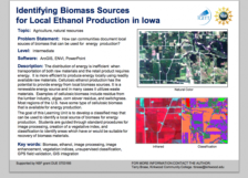
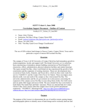
The Integrated Geospatial Education and Technology Training Project (iGETT) presents a series of Learning Units (LU) designed to incorporate federal land remote sensing data into Geographic Information System (GIS) instruction. The Identifying Biomass Sources for...
Learning Unit Description:
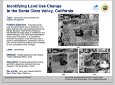
The Integrated Geospatial Education and Technology Training Project (iGETT) presents a series of Learning Units (LU) designed to incorporate federal land remote sensing data into Geographic Information System (GIS) instruction. The Land Use Change Detection in the Santa...
Learning Unit Description:
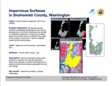
The Integrated Geospatial Education and Technology Training Project (iGETT) presents a series of Learning Units (LU) designed to incorporate federal land remote sensing data into Geographic Information System (GIS) instruction. The A Beginning Assessment Comparing...
Learning Unit Description:
Integrated Geospatial Education and Technology Training (iGETT) presents a series of Learning Units (LU) designed to incorporate federal land remote sensing data into Geographic Information Systems (GIS) instruction. This LU covers the use of GIS to detect land change...
Learning Unit Description:
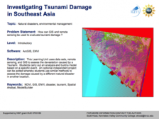
The Integrated Geospatial Education and Technology Training Project (iGETT) presents a series of Learning Units (LU) designed to incorporate federal land remote sensing data into Geographic Information System (GIS) instruction. The Investigating Tsunami Damage in...
Learning Unit Description:
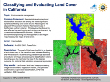
The Integrated Geospatial Education and Technology Training Project (iGETT) presents a series of Learning Units (LU) designed to incorporate federal land remote sensing data into Geographic Information Systems (GIS) instruction. The Classifying and Evaluating Land Cover...
Learning Unit Description:
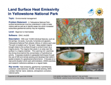
The Integrated Geospatial Education and Technology Training Project (iGETT) presents a series of Learning Units (LU) designed to incorporate federal land remote sensing data into Geographic Information System (GIS) instruction. The Land Surface Heat Emissivity in...
|
| ← PreviousNext → |
