Browse Resources
Instructional Material -- Instructor Guide/Manual
Resources |
|---|
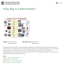
This lab, presented by the National Nanotechnology Coordinated Infrastructure, covers the concept of measurement on the nanoscale. During this exercise, students will learn about the size of a nanometer, converting between nanometers and other units of length, and giving examples of real life...
This demonstration, presented by the National Nanotechnology Coordinated Infrastructure, exposes students to the functionality of catalysts on a nanoscale. This lesson is "a great way to introduce or review reactants, catalysts, and adsorption, desorption, and diffusion. Use this demonstration after...
This lesson, from National Nanotechnology Coordinated Infrastructure, teaches students about the properties of materials. During the lesson, students will learn about superhydrophobic coated materials in contrast to uncoated materials. Ateacher's preparatory guide with lesson diagrams, pictures,...
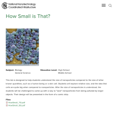
This lab, presented by the National Nanotechnology Coordinated Infrastructure, covers the concept of relative size. Students will learn that "cells are quite big when compared to nanomaterials" and examine ways to keep nanoparticles from being polluted by larger objects, such as dust. A Teacher's...
This primer on High Performance Liquid Chromatography (HCLC) gives a brief history and definition of liquid chromatography (LC), LC techniques, and defines both HPLC and UltraPerformance Liquid Chromatography (UPLC Technology). The other chapters of the primer are available on the left side of the...
Learning Unit Description:
The Integrated Geospatial Education and Technology Training Project (iGETT) presents a series of Learning Units (LU) designed to incorporate federal land remote sensing data into Geographic Information System (GIS) instruction. The Identifying Biomass Sources for...
Learning Unit Description:
The Integrated Geospatial Education and Technology Training Project (iGETT) presents a series of Learning Units (LU) designed to incorporate federal land remote sensing data into Geographic Information System (GIS) instruction. The Land Use Change Detection in the Santa...
This 9-page booklet provides guidance for using Google Earth and NASA World Wind as tools in teaching. Instructions for navigating the programs are included. This booklet includes six sections: Introduction, Google Earth, NASA World Wind, Examples of Imagery Use, Application of World Wind, and...
Learning Unit Description:
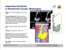
The Integrated Geospatial Education and Technology Training Project (iGETT) presents a series of Learning Units (LU) designed to incorporate federal land remote sensing data into Geographic Information System (GIS) instruction. The A Beginning Assessment Comparing...
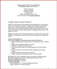
This lesson examines ISO 14001 (an international standard encouraging pollution prevention) with respect to existing consumer products. The lesson helps students to understand how redesign of existing products can lead to being able to reuse the materials later. A PowerPoint document with...
|
| ← PreviousNext → |
