Browse Resources
Instructional Material -- Tutorial
Resources |
|---|
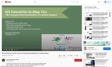 This tutorial, provided by Virginia Geospatial Extension, is part of a series of 30 videos that cover remotely sensed data in ArcMap 10.x versions. This tutorial is divided into two videos (18A and 18B) and covers "unsupervised classification of Landsat Imagery." During the tutorial, unsupervised...
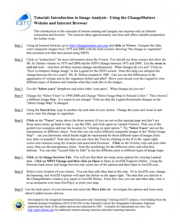 This tutorial, from the Integrated Geospatial Education and Technology Training Project (iGETT), uses a viewer available through an internet browser to introduce students to remote sensing and imagery. The nine step activity uses the ChangeMatters viewer from the Ersi GIS company to investigate...
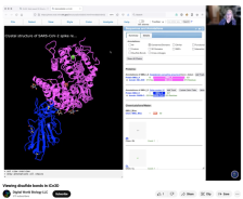
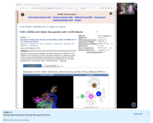 This video, provided by Digital World Biology, is from a series of tutorial videos for iCn3D, a web-based three-dimensional visualization and structural analysis platform for molecular structures. During the video, presenter Sandra Porter discusses using iCn3D to view structures that were aligned...
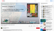 This video, provided by Virginia Geospatial Extension, is part of a series of 28 tutorial videos on remote sensing with ArcGIS Pro. This tutorial demonstrates how to import a map document created in ArcGIS desktop. This video runs 04:08 minutes in length. The other videos in the series are available...
 This video, provided by Digital World Biology, is from a series of tutorial videos for iCn3D, a web-based three-dimensional visualization and structural analysis platform for molecular structures. During this tutorial, presenter Sandra Porter provides step-by-step instructions on how to look at...
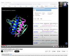
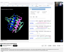 This video, provided by Digital World Biology, is from a series of tutorial videos for iCn3D, a web-based three-dimensional visualization and structural analysis platform for molecular structures. During this video, presenter Sandra Porter provides step-by-step instructions on using the select by...
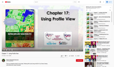 This video, provided by Virginia Geospatial Extension, is part of a series of 22 tutorial videos on working with Lidar using ArcGIS Pro. This tutorial "demonstrate[s] Profile View in ArcGIS Pro, an essential tool for classifying unassigned points in a point cloud." This video runs 05:01 minutes in...
 This video, provided by Digital World Biology, is from a series of tutorial videos for iCn3D, a web-based three-dimensional visualization and structural analysis platform for molecular structures. During the video, presenter Sandra Porter provides step-by-step instructions for isolating and viewing...
 This video, provided by Digital World Biology, is from a series of tutorial videos for iCn3D, a web-based three-dimensional visualization and structural analysis platform for molecular structures. During this video, presenter Sandra Porter guides viewers through step-by-step instructions on how to...
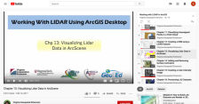 This video, provided by Virginia Geospatial Extension, is part of a series of 16 tutorial videos on using Lidar with ArcGIS Desktop. This tutorial demonstrates how to visualize Lidar data using ArcScene, one of the software applications of ArcGIS Desktop. This video runs 8:55 minutes in length. The...
|
| ← PreviousNext → |