Browse Resources
Instructional Material -- Tutorial
Resources |
|---|
 This tutorial, provided by Virginia Geospatial Extension, is part of a series of 30 videos that cover remotely sensed data in ArcMap 10.x versions. This video covers accessing and viewing metadata. This video runs 01:32 minutes in length. The other videos in the series are available to view...
 This video, provided by Virginia Geospatial Extension, is part of a series of 22 tutorial videos on working with Lidar using ArcGIS Pro. This tutorial demonstrates tools for classifying unassigned points interactively. This video runs 08:23 minutes in length. The other videos in the series are...
 This video, provided by Virginia Geospatial Extension, is part of a series of 22 tutorial videos on working with Lidar using ArcGIS Pro. This tutorial discusses geoprocessing tools for classification, the location of LAS dataset tools in the toolbox, and geoprocessing tools on the LAS Dataset Layer...
 This video, provided by Virginia Geospatial Extension, is part of a series of 22 tutorial videos on working with Lidar using ArcGIS Pro. This tutorial "... explore[s] the context sensitive toolbars and associated tabs when selecting a layer in Contents." This video runs 02:20 minutes in length. The...
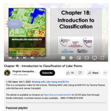 This video, provided by Virginia Geospatial Extension, is part of a series of 22 tutorial videos on working with Lidar using ArcGIS Pro. This tutorial reviews Lidar remote sensing and discusses why lidar point clouds must be classified. This video runs 03:54 minutes in length. The other videos in...
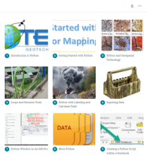
 This resource, provided by the GeoTech Center, is the first of nine online modules in the Python and Geospatial Mapping course. Designed for experienced users of Global Information Systems (GIS) platforms who are new to programming, this course aims to teach learners how to use Python to automate...
 This online course, provided by the GeoTech Center, is designed to teach Python programming specifically for geospatial mapping programs. The intended audience of this course is someone who is new to programming but is an experienced user of ArcGIS Pro or other geographic information systems (GIS)...
 This 11-page PDF, provided by the GeoTech Center, serves as the companion document to a workshop that offered a brief version of the Center's longer, 9-module online course on Python programming for ArcGIS Pro. The PDF comprises five chapters, mirroring five of the nine modules covered in the...
 This resource, provided by the GeoTech Center, is the .pdf version of the first of nine online modules in the Python and Geospatial Mapping course. Designed for experienced users of Global Information Systems (GIS) platforms who are new to programming, this course aims to teach learners how to use...
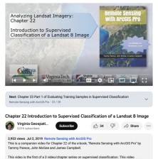 This video, provided by Virginia Geospatial Extension, is part of a series of 28 tutorial videos on remote sensing with ArcGIS Pro. This tutorial is the first of three that cover supervised classification. This tutorial "... demonstrates how to create a schema and training sample using ArcGIS Pro...
|
| ← PreviousNext → |