Browse Resources
Instructional Material -- Tutorial
Resources |
|---|
This video, provided by Virginia Geospatial Extension, is part of a series of 16 tutorial videos on using Lidar with ArcGIS Desktop. This tutorial demonstrates how to understand LAS dataset properties in ArcMap, one of the software applications of ArcGIS Desktop, and how to alter the display...
This video, provided by Virginia Geospatial Extension, is part of a series of 22 tutorial videos on working with Lidar using ArcGIS Pro. This video demonstrates the following four search techniques: Address/Place, Current Extent, Box/Point, Coordinates, and Unique Identifier. This video runs 05:45...
This video, provided by Virginia Geospatial Extension, is part of a series of 22 tutorial videos on working with Lidar using ArcGIS Pro. This tutorial introduces settings that control display of lidar points and demonstrates displaying Lidar Datasets by classification code and return. This video...
This video, provided by Virginia Geospatial Extension, is part of a series of 22 tutorial videos on working with Lidar using ArcGIS Pro. This tutorial discusses overlay issues with basemaps and lidar data; illustrates symbology of lidar data by elevation and return number; and demonstrates tools to...
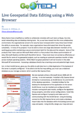
This two page document from GeoTech describes how to use a web browser for geospatial data editing. The ArcGIS Server software from Esri provides this technology. For live map editing, a relational database, such as the free SQL Express, must be used as the "storage container." A diagram illustrates...
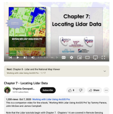
This video, provided by Virginia Geospatial Extension, is part of a series of 22 tutorial videos on working with Lidar using ArcGIS Pro. This tutorial demonstrates how to locate available lidar data. This video runs 8:34 minutes in length. The other videos in the series are available to view...
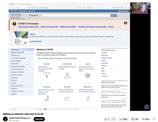
This video, provided by Digital World Biology, is from a series of tutorial videos for iCn3D, a web-based three-dimensional visualization and structural analysis platform for molecular structures. During this video, presenter Sandra Porter provides step-by-step instructions on making an element...
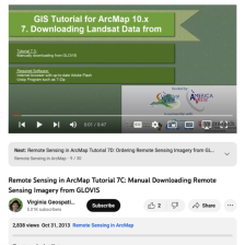
This tutorial, provided by Virginia Geospatial Extension, is part of a series of 30 videos that cover remotely sensed data in ArcMap 10.x versions. Tutorial seven is divided into four videos: A, B, C, and D. This video covers manually downloading data from GLOVIS. This video runs 00:47 seconds in...
This video, provided by Virginia Geospatial Extension, is part of a series of 28 tutorial videos on remote sensing with ArcGIS Pro. This tutorial defines metadata and "illustrates various locations in ArcGIS Pro where metadata can be found." This video runs 07:56 minutes in length. The other videos...
This page, from the Nikon Corporation, provides a wealth of resources about microscopy for students and professionals alike. The Latest Review Articles section provides written, in-depth summaries of topics like fluorescent proteins and microscope focus drift, and the Optical Microscopy Tutorials on...
|
| ← PreviousNext → |
