Browse Resources
Instructional Material -- Tutorial
Resources |
|---|
 The "Digital Lab Techniques Manual" is a series of videos designed to help students prepare for chemistry laboratory classes. Each video provides a detailed demonstration of a common laboratory technique. These videos provide a good supplement for teaching chemistry laboratory. Students can view the...
 This video, provided by Digital World Biology, is from the 2022 Antibody Engineering Hackathon, an event where teams collaborated to develop Course-based Undergraduate Research projects (CURES) for students studying biotechnology. During this presentation, presenter Sandra Porter provides...
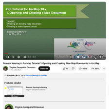 This video, provided by Virginia Geospatial Extension, is part of a series of 30 videos that cover remotely sensed data in ArcMap 10.x versions. This video shows how to open an existing map or create a new one in ArcMap. This video runs 00:45 seconds in length. The other videos in the series are...
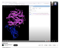 This video, provided by Digital World Biology, is from a series of tutorial videos for iCn3D, a web-based three-dimensional visualization and structural analysis platform for molecular structures. In this video, presenter Sandra Porter provides step-by-step instructions on how to view peptide bonds...
 This 238-page textbook was created for the WELD 205: Advanced Pipe Welding course taught at Lake Washington Institute of Technology. The course includes theory and lab work. This textbook includes sections on pipes, welding passes, welding positions, welding methods, nondestructive examination,...
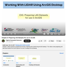 This video, provided by Virginia Geospatial Extension, is part of a series of 16 tutorial videos on using Lidar with ArcGIS Desktop. This tutorial demonstrates how to prepare LAS-formatted Lidar datasets for use in ArcGIS Desktop. This video runs 05:21 minutes in length. The other videos in the...
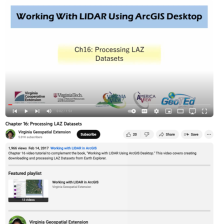 This video, provided by Virginia Geospatial Extension, is part of a series of 16 tutorial videos on using Lidar with ArcGIS Desktop. This tutorial demonstrates how to process LAZ-formatted datasets from the United States Geological Survey (USGS) using Earth Explorer. This video runs 1:53 minutes in...
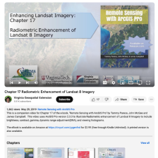 This video, provided by Virginia Geospatial Extension, is part of a series of 28 tutorial videos on remote sensing with ArcGIS Pro. This tutorial "uses ArcGIS Pro version 2.3 to illustrate radiometric enhancement of Landsat 8 imagery to include brightness, contrast, gamma, dynamic range adjustment...
 This tutorial, provided by Virginia Geospatial Extension, is part of a series of 30 videos that cover remotely sensed data in ArcMap 10.x versions. This tutorial is broken into two videos (14A and 14B) and covers "radiometric enhancement of Landsat Imagery." This video runs 02:26 minutes in length....
 This tutorial, provided by Virginia Geospatial Extension, is part of a series of 30 videos that cover remotely sensed data in ArcMap 10.x versions. This tutorial is broken into two videos (14A and 14B) and covers "radiometric enhancement of Landsat Imagery." Part B picks up where 14A left off and...
|
| ← PreviousNext → |