Browse Resources
Instructional Material -- Unit of Instruction
Resources |
|---|
 Learning Unit Description:
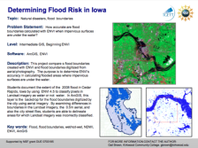
The Integrated Geospatial Education and Technology Training Project (iGETT) presents a series of Learning Units (LU) designed to incorporate federal land remote sensing data into Geographic Information System (GIS) instruction. The Flood Boundary Comparison LU examines...
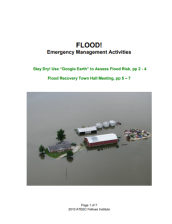 This resource, provided by The Advanced Technology Environmental and Energy Center (ATEEC) includes two documents relating to flood management activities. The first document is 7 pages and features two activities: Stay Dry! Use “Google Earth” to Assess Flood Risk, which asks students to determine...
 Description:
This learning module is provided by Work-Ready Electronics and covers the Fourier Theory. Work-Ready Electronics modules are intended to be used either independently or integrated with current electronics curricula in college programs. This module is divided into three sections:...
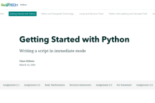 This resource, provided by the GeoTech Center, is the second of nine online modules in the Python and Geospatial Mapping course. The course is designed for experienced users of Global Information Systems (GIS) platforms who are new to programming, with the goal of teaching them how to use Python to...
 Module Description:
This module, from Support Center for Microsystems Education (SCME), provides "information on hazardous materials and how these materials could affect one's health and the safety of the working environment." This module is divided into the following five units: HazMat I and II...
 Module Description:
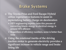
This Hybrid Electric Vehicle (HEV) Braking and Steering Systems module consists of a PowerPoint presentation, lab, and syllabi designed to enhance automotive electrical courses with HEV technologies and was developed through seed funding from the Center for Advanced Automotive...
 Program Description:
These resource were developed by Lansing Community College (LCC) to educate first responders, technicians, and the general public on the operation, technology, and safety concerns related to electric and hybrid electric vehicles (EVs and HEVs). The materials included were used...
 Learning Unit Description:
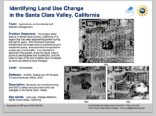
The Integrated Geospatial Education and Technology Training Project (iGETT) presents a series of Learning Units (LU) designed to incorporate federal land remote sensing data into Geographic Information System (GIS) instruction. The Land Use Change Detection in the Santa...
 This resource, provided by the GeoTech Center, is the sixth of nine online modules in the Python and Geospatial Mapping course. The course is designed for experienced users of Global Information Systems (GIS) platforms who are new to programming, with the goal of teaching them how to use Python to...
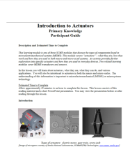 Module Description:
This module, from Support Center for Microsystems Education (SCME), provides an overview of actuator devices, including "what they are, how they work and how they are used in both macro and micro-sized systems." This module is divided into the following four units: Pre-test...
|
| ← PreviousNext → |