Browse Resources
Higher Education -- Undergraduate (Upper Division)
Resources |
|---|
This resource, from Educational CyberPlayGround, provides information about women's important contributions to the history of computing and computers. The stories of notable women are presented, such as those profiled in the 2016 film "Hidden Figures," Katherine Johnson, Dorothy Vaughan, and Mary...
This paper, published by the MIT Joint Program on the Science and Policy of Global Change, compares cap-and-trade systems with intensity-based emission limits and provides a theoretical economic analysis of their effects.
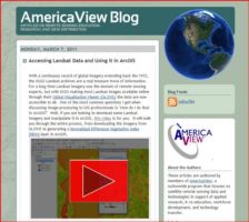
This post on the AmericaView Blog describes accessing Landsat data and using it in the ArcGIS program. The post includes a link to an instructional video which will show you how to access freely available Landsat satellite imagery and data and then work with it in ArcGIS. Running time for the video...
This article, which originally appeared in the Journal of Engineering Education, reports on an experimental study of the use of a peer rating system in an introductory engineering course. The study examines the incidence of students receiving low ratings from all their teammates, inflated and...
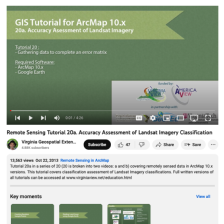
This tutorial, provided by Virginia Geospatial Extension, is part of a series of 30 videos that cover remotely sensed data in ArcMap 10.x versions. This tutorial is divided into two videos (20A and 20B) and covers "accuracy assessment of Landsat Imagery." Gathering data to complete an error matrix...
This video from AmericaView is part of a series that explores the process of assessing the accuracy of maps made from remotely sensed data. In the video, Russell G. Congalton from the University of New Hampshire provides an introduction to map assessments for remotely sensed data, specifically...
This video from AmericaView is part of a series that explores the process of assessing the accuracy of maps made from remotely sensed data. In the video, Russell G. Congalton from the University of New Hampshire provides an overview of positional accuracy. After the lesson, learners will be able to...
This video from AmericaView is part of a series that explores the process of assessing the accuracy of maps made from remotely sensed data. In the video, Russell G. Congalton from the University of New Hampshire explores methods and analysis for positional accuracy. After the lesson, learners will...
This video from AmericaView is part of a series that explores the process of assessing the accuracy of maps made from remotely sensed data. In the video, Russell G. Congalton from the University of New Hampshire provides an overview of thematic accuracy. After the lesson, learners will be able to...
This video from AmericaView is part of a series that explores the process of assessing the accuracy of maps made from remotely sensed data. In the video, Russell G. Congalton from the University of New Hampshire explores reference data collection for thematic accuracy. After the lesson, learners...
|
| ← PreviousNext → |
