Browse Resources
Resources |
|---|
 This promotional video, provided by the Minnesota State Advanced Manufacturing Center of Excellence's Minnesota Manufactured program, provides facts, statistics, and information on career opportunities in the manufacturing industry. In the video, viewers learn that employees in manufacturing make...
 This resource, published by Georgia Tech Research Institute, features a math data visualization activity designed for seventh graders. In this activity, students utilize "inference and measures of center and variability to investigate the error rate of random samples of hex nuts to determine if a...
 This webinar, made available by Maricopa Advanced Technology Education Center (MATEC), discusses the status of the Manufacturing USA Institutes as of 2017 in two separate sessions. Presentation slides are available for session one, entitled Workforce Development Strategies. Session two, entitled NSF...
 This webinar recording, provided by Maricopa Advanced Technology Education Center (MATEC), includes information about workforce development strategies at Manufacturing USA Institutes. The webinar includes background information about Manufacturing USA Institute and brief overviews of three...
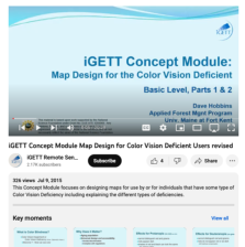 This video, created by Integrated Geospatial Education and Technology Training Project (iGETT), discusses designing maps for individuals who have some type of color vision deficiency. The video covers the following topics: what is color blindness, causes, classification, what does it matter, effects...
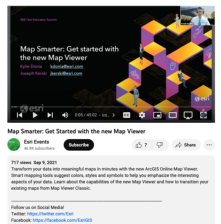 This video, from the 2021 Esri Education Summit, highlights the ArcGIS Online Map Viewer, which is part of the ArcGIS platform. Background information on the application, information on how to use it, a demo, information on transitioning from Map Viewer Classic, GIS resources, and more are provided....
 This resource, published by Georgia Tech Research Institute, features an science activity designed for eighth graders. In this activity, students engage as environmental engineers to determine how the oil from the Deepwater Horizon Oil Spill landed at the bottom of the ocean in order to prevent...
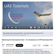 This video, from AmericaView, is the first in a six part series that discusses how to master the aeronautical chart for unmanned aerial systems (UAS) operators. The video covers an introduction to Visual Flight Rules (VFR) sectional charts, discusses what a sectional chart is, and provides a brief...
 This video, from AmericaView, is the second in a six part series that discusses how to master the aeronautical chart for unmanned aerial systems (UAS) operators. The video covers the basic layout of Visual Flight Rules (VFR) sectionals and where to find ancillary data. The video runs 6:40 minutes in...
 This video, from AmericaView, is the fourth in a six part series that discusses how to master the aeronautical chart for unmanned aerial systems (UAS) operators. The video covers the different classes of normal use airspace and how they dictate where one can and cannot fly. The video runs 8:45 ...
|
| ← PreviousNext → |